
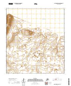
2020 Map of Saint Lawrence D-5 SW
USGS Topo · Published 2020About this map
Saint Lawrence Island remains a stark and significant landmass within the Bering Sea, captured here in a 2020 survey of its western reaches. The landscape is defined by its isolation and the surveyor's grid, represented by the Public Land Survey System boundaries of t21s r66w and its surrounding townships. This map provides a technical foundation for understanding the remote topography of the island, where the lack of named settlements or infrastructure highlights the purely natural state of this arctic environment. It serves as a detailed record of the island's coastal interface and interior terrain, essential for any study of the Nome Census Area's furthest maritime borders.
Find a feature on this map
6 named features on this map. Tap any name to fly to it.
Don’t see what you’re looking for? This feature index may not catch every label — zoom into the map to look around manually.
Map Details
Editions of this 2020 Saint Lawrence D-5 SW Map
This is the sole edition of this map. No revisions or reprints were ever made.
Other maps of this area

1948 · St Lawrence
USGS Topo · 1:250,000

1949 · St Lawrence
USGS Topo · 1:250,000

1964 · St Lawrence
USGS Topo · 1:250,000
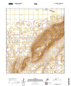
2020 · Saint Lawrence C-5 NW
USGS Topo · 1:25,000
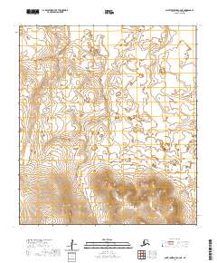
2020 · Saint Lawrence C-6 NE
USGS Topo · 1:25,000
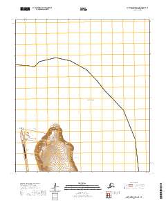
2020 · Saint Lawrence D-6 NE
USGS Topo · 1:25,000
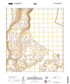
2020 · Saint Lawrence D-6 SE
USGS Topo · 1:25,000
2020 · Saint Lawrence C-5 NE
USGS Topo · 1:25,000