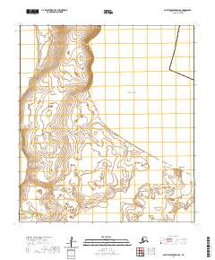
2020 Map of Saint Lawrence D-6 SE
USGS Topo · Published 2020About this map
Saint Lawrence Island is defined by its dramatic northern shoreline where the Bering Sea meets land in a series of prominent coastal features. In this remote stretch of the Nome Census Area, the coastline is punctuated by sharp landmarks such as Meruwtu Point, Agtapuk Point, and Ooynik Point. These protrusions create natural indentations in the shore, forming Dovelawik Bay and the broad Akeftapak Bay. The map reveals a landscape shaped by powerful maritime forces, from the expansive Nirgeehak Beach to the steep elevation of Niyghakpak Cliff. This 2020 survey provides an exact look at the island's geography before further coastal erosion or rising sea levels alter these traditional landmarks, serving as a critical point of reference for studying the natural history of this subarctic environment.
Find a feature on this map
13 named features on this map. Tap any name to fly to it.
Don’t see what you’re looking for? This feature index may not catch every label — zoom into the map to look around manually.
Map Details
Editions of this 2020 Saint Lawrence D-6 SE Map
This is the sole edition of this map. No revisions or reprints were ever made.
Other maps of this area

1948 · St Lawrence
USGS Topo · 1:250,000

1949 · St Lawrence
USGS Topo · 1:250,000

1964 · St Lawrence
USGS Topo · 1:250,000

2020 · Saint Lawrence D-5 SW
USGS Topo · 1:25,000
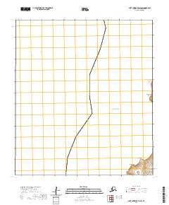
2020 · Saint Lawrence D-6 SW
USGS Topo · 1:25,000
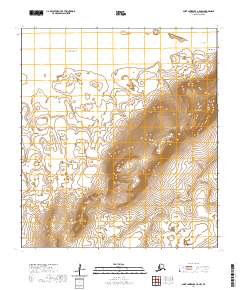
2020 · Saint Lawrence C-5 NW
USGS Topo · 1:25,000
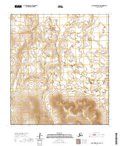
2020 · Saint Lawrence C-6 NE
USGS Topo · 1:25,000
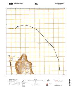
2020 · Saint Lawrence D-6 NE
USGS Topo · 1:25,000
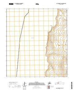
2020 · Saint Lawrence C-6 NW
USGS Topo · 1:25,000
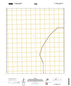
2020 · Saint Lawrence D-6 NW
USGS Topo · 1:25,000