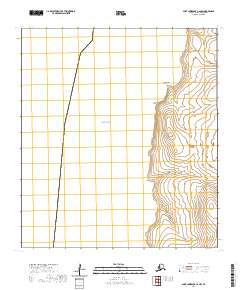
2020 Map of Saint Lawrence C-6 NW
USGS Topo · Published 2020About this map
Bering Sea waters dominate the western half of this 2020 coastal survey on Saint Lawrence Island in the Nome Census Area. The shoreline is defined by sharp topographic transitions and several distinct geographic landmarks, including Savukahuk Point, Shlokovik Point, and Vngyat Point. These coastal features serve as critical orientation points along a landscape primarily characterized by elevation contours and the Public Land Survey System grids of t21s r68w, t22s r68w, and t23s r68w. As part of the US Topo series, the map focuses on the natural geometry of the coastline and the precise delineations of township and range boundaries in this subarctic environment.
Find a feature on this map
7 named features on this map. Tap any name to fly to it.
Don’t see what you’re looking for? This feature index may not catch every label — zoom into the map to look around manually.
Map Details
Editions of this 2020 Saint Lawrence C-6 NW Map
This is the sole edition of this map. No revisions or reprints were ever made.
Other maps of this area

1948 · St Lawrence
USGS Topo · 1:250,000

1949 · St Lawrence
USGS Topo · 1:250,000

1964 · St Lawrence
USGS Topo · 1:250,000
2020 · Saint Lawrence D-6 SW
USGS Topo · 1:25,000
2020 · Saint Lawrence C-6 NE
USGS Topo · 1:25,000
2020 · Saint Lawrence C-6 SE
USGS Topo · 1:25,000
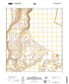
2020 · Saint Lawrence D-6 SE
USGS Topo · 1:25,000
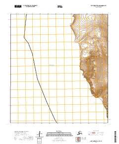
2020 · Saint Lawrence C-6 SW
USGS Topo · 1:25,000