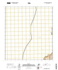
2020 Map of Saint Lawrence D-6 SW
USGS Topo · Published 2020About this map
Bering Sea waters dominate this coastal survey along the southwestern reaches of Saint Lawrence Island. The shoreline is defined by a series of prominent geographic markers, including Nekeelit Point and Kaghoopalik Point to the north, descending toward the indent of Kavalghak Bay. Further south, the landscape is punctuated by Singik Point, Upapak Point, and Aghsit Point. The map provides a clear look at the Public Land Survey System grid within t20s r67w and t21s r68w, illustrating how these administrative boundaries were established across the island's terrain. This 2020 edition offers researchers and maritime historians a precise record of the shoreline's contours as they existed at the start of the decade.
Find a feature on this map
9 named features on this map. Tap any name to fly to it.
Don’t see what you’re looking for? This feature index may not catch every label — zoom into the map to look around manually.
Map Details
Editions of this 2020 Saint Lawrence D-6 SW Map
This is the sole edition of this map. No revisions or reprints were ever made.
Other maps of this area

1948 · St Lawrence
USGS Topo · 1:250,000

1949 · St Lawrence
USGS Topo · 1:250,000

1964 · St Lawrence
USGS Topo · 1:250,000
2020 · Saint Lawrence C-6 NE
USGS Topo · 1:25,000
2020 · Saint Lawrence D-6 NE
USGS Topo · 1:25,000
2020 · Saint Lawrence D-6 SE
USGS Topo · 1:25,000
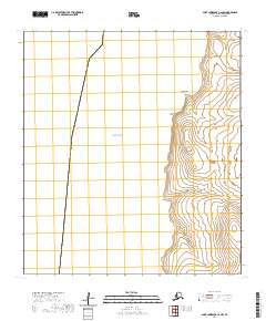
2020 · Saint Lawrence C-6 NW
USGS Topo · 1:25,000
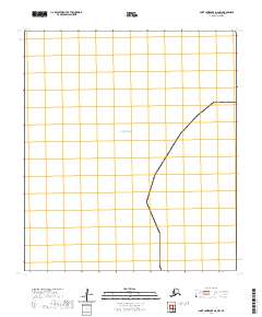
2020 · Saint Lawrence D-6 NW
USGS Topo · 1:25,000