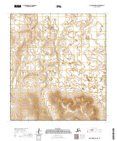
2020 Map of Saint Lawrence C-6 NE
USGS Topo · Published 2020About this map
Mamagnak Mountains rise across the southern portion of this landscape on Saint Lawrence Island, providing a stark contrast to the low-lying terrain to the north. Located in the Nome Census Area, this area is defined by its isolation in the Bering Sea. The topographic survey, produced by the U.S. Geological Survey in 2020, uses a ten-foot contour interval to reveal the subtle relief of the island's interior. While few human-made landmarks or settlements are identified within this specific quadrant, the mapping of the Mamagnak Mountains and the public land survey system divisions—such as t23s r67w and t23s r68w—delineates the physical structure of this remote Alaskan territory.
Find a feature on this map
8 named features on this map. Tap any name to fly to it.
Don’t see what you’re looking for? This feature index may not catch every label — zoom into the map to look around manually.
Map Details
Editions of this 2020 Saint Lawrence C-6 NE Map
This is the sole edition of this map. No revisions or reprints were ever made.
Other maps of this area

1948 · St Lawrence
USGS Topo · 1:250,000

1949 · St Lawrence
USGS Topo · 1:250,000

1964 · St Lawrence
USGS Topo · 1:250,000

2020 · Saint Lawrence D-5 SW
USGS Topo · 1:25,000
2020 · Saint Lawrence D-6 SW
USGS Topo · 1:25,000
2020 · Saint Lawrence C-5 NW
USGS Topo · 1:25,000
2020 · Saint Lawrence C-6 SE
USGS Topo · 1:25,000
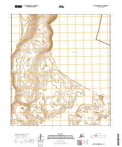
2020 · Saint Lawrence D-6 SE
USGS Topo · 1:25,000
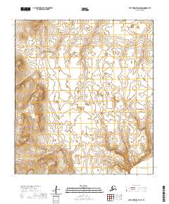
2020 · Saint Lawrence C-5 SW
USGS Topo · 1:25,000
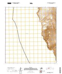
2020 · Saint Lawrence C-6 SW
USGS Topo · 1:25,000