2020 Map of Saint Lawrence D-6 NW
USGS Topo · Published 2020About this map
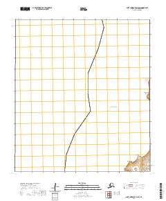
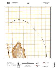
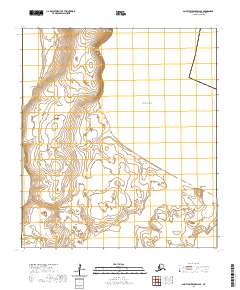
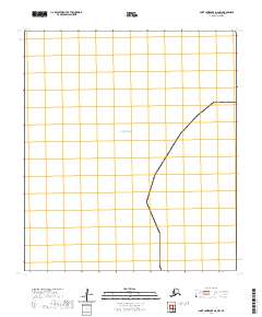
The Bering Sea dominates this 2020 topographic survey, which covers a maritime environment within the Nome Census Area of Alaska. This specific sheet depicts the open waters and the coastline where the sea meets the northwestern portion of Saint Lawrence Island. The map is primarily a marine and coastal study, with the vast majority of the quadrangle occupied by the Bering Sea. On the terrestrial side, the survey illustrates the Public Land Survey System grid for T20s R67w, providing a structural look at how the island's interior was partitioned for administrative and legal purposes. The lack of named roads or settlements indicates a landscape defined by its remote location and natural shoreline.
Find a feature on this map
2 named features on this map. Tap any name to fly to it.
Don’t see what you’re looking for? This feature index may not catch every label — zoom into the map to look around manually.
Map Details
Editions of this 2020 Saint Lawrence D-6 NW Map
This is the sole edition of this map. No revisions or reprints were ever made.