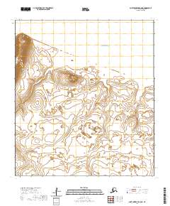
2020 Map of Saint Lawrence C-5 NE
USGS Topo · Published 2020About this map
Saint Lawrence Island provides the setting for this topographic study, where the terrestrial landscape meets the Bering Sea in the remote Nome Census Area. The terrain is defined by low-lying coastal marshes and subtle elevations, dominated by the prominent Mugum Peak situated in the central portion of the quadrangle. This area is characterized by its isolation and the lack of human infrastructure, focusing instead on the natural landforms and hydrology of the Alaskan island. The map depicts a network of small ponds and wetlands that cover much of the interior, reflecting the complex drainage patterns found in this subarctic environment. Surveyed by the U.S. Geological Survey, the document records the precise elevation contours and township boundaries including t22s r65w and t22s r64w, offering a look at the island's geography in the early twenty-first century.
Find a feature on this map
8 named features on this map. Tap any name to fly to it.
Don’t see what you’re looking for? This feature index may not catch every label — zoom into the map to look around manually.
Map Details
Editions of this 2020 Saint Lawrence C-5 NE Map
This is the sole edition of this map. No revisions or reprints were ever made.
Other maps of this area

1948 · St Lawrence
USGS Topo · 1:250,000

1949 · St Lawrence
USGS Topo · 1:250,000

1964 · St Lawrence
USGS Topo · 1:250,000

2020 · Saint Lawrence D-5 SW
USGS Topo · 1:25,000
2020 · Saint Lawrence D-4 SW
USGS Topo · 1:25,000
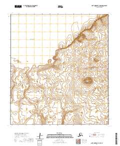
2020 · Saint Lawrence C-4 NW
USGS Topo · 1:25,000
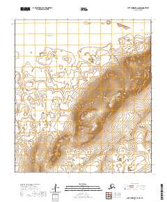
2020 · Saint Lawrence C-5 NW
USGS Topo · 1:25,000
2020 · Saint Lawrence C-4 SW
USGS Topo · 1:25,000
2020 · Saint Lawrence C-5 SE
USGS Topo · 1:25,000
2020 · Saint Lawrence C-5 SW
USGS Topo · 1:25,000