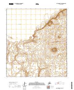
2020 Map of Saint Lawrence C-4 NW
USGS Topo · Published 2020About this map
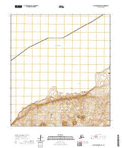
The northwest corner of Saint Lawrence Island meets the Bering Sea along a coastline defined by prominent geological landmarks. This 2020 survey records the topography of a remote landscape where coastal features like Kaghusalik Point and Tikugha Point mark the transition from the marine environment to the island's interior. Further inland, the terrain rises significantly toward Nyghook Number Two Mt, which serves as a dominant high point in this section of the Nome Census Area.
Find a feature on this map
9 named features on this map. Tap any name to fly to it.
Don’t see what you’re looking for? This feature index may not catch every label — zoom into the map to look around manually.
Map Details
Editions of this 2020 Saint Lawrence C-4 NW Map
This is the sole edition of this map. No revisions or reprints were ever made.
Other maps of this area

1948 · St Lawrence
USGS Topo · 1:250,000

1949 · St Lawrence
USGS Topo · 1:250,000

1964 · St Lawrence
USGS Topo · 1:250,000

2020 · Saint Lawrence C-4 NE
USGS Topo · 1:25,000

2020 · Saint Lawrence C-4 SE
USGS Topo · 1:25,000
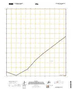
2020 · Saint Lawrence D-4 SW
USGS Topo · 1:25,000
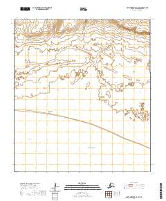
2020 · Saint Lawrence C-4 SW
USGS Topo · 1:25,000
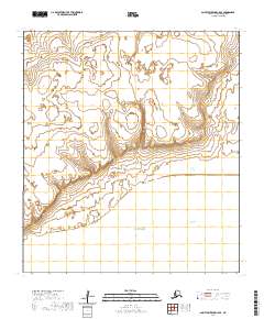
2020 · Saint Lawrence C-5 SE
USGS Topo · 1:25,000
2020 · Saint Lawrence D-4 SE
USGS Topo · 1:25,000
2020 · Saint Lawrence C-5 NE
USGS Topo · 1:25,000