
2020 Map of Saint Lawrence C-4 NE
USGS Topo · Published 2020About this map
Saint Lawrence Island is characterized by the rolling volcanic topography of the Kookooligit Mountains in this 2020 survey. Located in the Nome Census Area of Alaska, the map details a land of high plateaus and cinder cones, where elevations rise steeply to over 1,500 feet. The absence of modern roads or settlements highlights the isolation of this Bering Sea landscape, which is instead defined by the Public Land Survey System grids such as t22s r62w and t21s r62w. This topography provides a clear view of the island’s interior drainage patterns and geologic formations as they appeared in the early 21st century.
Find a feature on this map
11 named features on this map. Tap any name to fly to it.
Don’t see what you’re looking for? This feature index may not catch every label — zoom into the map to look around manually.
Map Details
Editions of this 2020 Saint Lawrence C-4 NE Map
This is the sole edition of this map. No revisions or reprints were ever made.
Other maps of this area

1948 · St Lawrence
USGS Topo · 1:250,000

1949 · St Lawrence
USGS Topo · 1:250,000

1964 · St Lawrence
USGS Topo · 1:250,000

2020 · Saint Lawrence C-4 SE
USGS Topo · 1:25,000
2020 · Saint Lawrence D-4 SW
USGS Topo · 1:25,000
2020 · Saint Lawrence D-3 SW
USGS Topo · 1:25,000
2020 · Saint Lawrence C-3 NW
USGS Topo · 1:25,000
2020 · Saint Lawrence C-3 SW
USGS Topo · 1:25,000
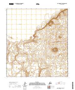
2020 · Saint Lawrence C-4 NW
USGS Topo · 1:25,000
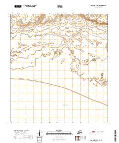
2020 · Saint Lawrence C-4 SW
USGS Topo · 1:25,000