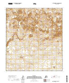
2020 Map of Saint Lawrence C-3 NW
USGS Topo · Published 2020About this map
Kookooligit Mountains dominate the interior landscape of Saint Lawrence Island in this northern Bering Sea terrain study. The topographical data focuses heavily on the volcanic upland, where Atuk Mtn stands as a primary elevation point amidst a complex system of contours. The map reveals a land defined by isolation and natural relief, absent of modern roads or settlements, highlighting the stark and preserved character of the island's central heights. Researchers can trace the precise drainage patterns and landforms that characterize this remote subarctic region, providing a clear view of the island's geological structure as it stood in the early twenty-first century.
Find a feature on this map
9 named features on this map. Tap any name to fly to it.
Don’t see what you’re looking for? This feature index may not catch every label — zoom into the map to look around manually.
Map Details
Editions of this 2020 Saint Lawrence C-3 NW Map
This is the sole edition of this map. No revisions or reprints were ever made.
Other maps of this area

1948 · St Lawrence
USGS Topo · 1:250,000

1949 · St Lawrence
USGS Topo · 1:250,000

1964 · St Lawrence
USGS Topo · 1:250,000

2020 · Saint Lawrence C-4 NE
USGS Topo · 1:25,000

2020 · Saint Lawrence C-4 SE
USGS Topo · 1:25,000
2020 · Saint Lawrence D-3 SW
USGS Topo · 1:25,000
2020 · Saint Lawrence D-3 SE
USGS Topo · 1:25,000
2020 · Saint Lawrence C-3 SW
USGS Topo · 1:25,000
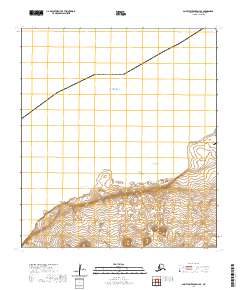
2020 · Saint Lawrence D-4 SE
USGS Topo · 1:25,000
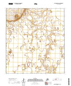
2020 · Saint Lawrence C-3 SE
USGS Topo · 1:25,000