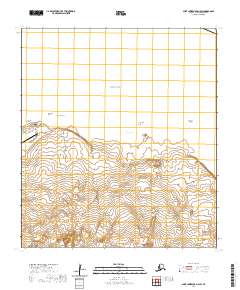
2020 Map of Saint Lawrence D-3 SE
USGS Topo · Published 2020About this map
The coastal waters of the Bering Sea meet the western edge of Saint Lawrence Island in this 2020 topographical survey. The landscape is defined by the prominent Cape Myaughee, while the surrounding waters are marked by maritime hazards and geological formations such as Stolbi Rocks and Nunaghak Rock. Further inland, the terrain includes localized landmarks like Tappghappaghak. This modern assessment from the U.S. Geological Survey uses a precise 10-foot contour interval to illustrate the elevation changes along this remote Alaskan shoreline. The map provides a detailed view of the section lines and township boundaries, including t21s r60w and t21s r59w, which are essential for understanding land divisions and traditional territories in the Nome Census Area.
Find a feature on this map
7 named features on this map. Tap any name to fly to it.
Don’t see what you’re looking for? This feature index may not catch every label — zoom into the map to look around manually.
Map Details
Editions of this 2020 Saint Lawrence D-3 SE Map
This is the sole edition of this map. No revisions or reprints were ever made.