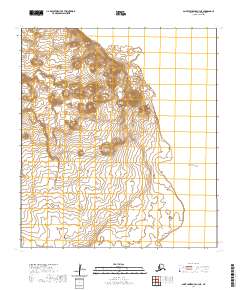
2020 Map of Saint Lawrence C-3 NE
USGS Topo · Published 2020About this map
Singikpo Cape and Cape Kitnik define this stretch of the western Alaskan coastline along the Bering Sea. This 2020 survey of the Saint Lawrence C-3 NE area illustrates a remote island landscape dominated by significant topographic relief, with elevations rising sharply from the shoreline to peaks exceeding 1,200 feet. The map details the Public Land Survey System grid across several townships, including t21s r60w and t22s r59w, marking a landscape devoid of modern infrastructure or permanent settlements. The high-resolution contour lines reveal the complex drainage patterns and natural coastal landforms that have historically served as navigational landmarks for the indigenous peoples and early maritime explorers of the region.
Find a feature on this map
9 named features on this map. Tap any name to fly to it.
Don’t see what you’re looking for? This feature index may not catch every label — zoom into the map to look around manually.
Map Details
Editions of this 2020 Saint Lawrence C-3 NE Map
This is the sole edition of this map. No revisions or reprints were ever made.
Other maps of this area

1948 · St Lawrence
USGS Topo · 1:250,000

1949 · St Lawrence
USGS Topo · 1:250,000

1964 · St Lawrence
USGS Topo · 1:250,000
2020 · Saint Lawrence D-3 SW
USGS Topo · 1:25,000
2020 · Saint Lawrence C-3 NW
USGS Topo · 1:25,000
2020 · Saint Lawrence D-3 SE
USGS Topo · 1:25,000
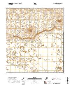
2020 · Saint Lawrence C-3 SW
USGS Topo · 1:25,000
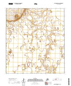
2020 · Saint Lawrence C-3 SE
USGS Topo · 1:25,000
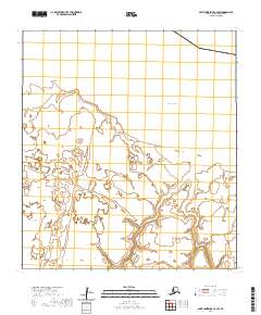
2020 · Saint Lawrence C-2 SW
USGS Topo · 1:25,000