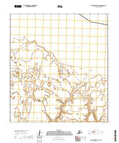
2020 Map of Saint Lawrence C-2 SW
USGS Topo · Published 2020About this map
Saint Lawrence Island is defined by its dramatic coastline and maritime geography in this northern reach of the Bering Sea. The landscape is punctuated by prominent coastal landmarks such as Agnayaghit Point and Oomyousik Point, which overlook the waters of the inlet at Taphatikuk Bay. To the east, the shoreline curves toward Kintanga Point and the sheltered Kintanga Bay. This survey illustrates the intricate hydrography of the island's coastal wetlands and interior drainage patterns, providing a precise record of the shoreline before the shifting Arctic climate alters these fragile landforms. The absence of modern infrastructure highlights the isolation of this portion of the Nome Census Area, where the topography remains dominated by the natural relationship between the land and the surrounding sea.
Find a feature on this map
12 named features on this map. Tap any name to fly to it.
Don’t see what you’re looking for? This feature index may not catch every label — zoom into the map to look around manually.
Map Details
Editions of this 2020 Saint Lawrence C-2 SW Map
This is the sole edition of this map. No revisions or reprints were ever made.
Other maps of this area

1948 · St Lawrence
USGS Topo · 1:250,000

1949 · St Lawrence
USGS Topo · 1:250,000

1964 · St Lawrence
USGS Topo · 1:250,000
2020 · Saint Lawrence B-2 NW
USGS Topo · 1:25,000
2020 · Saint Lawrence C-3 SE
USGS Topo · 1:25,000
2020 · Saint Lawrence B-3 NE
USGS Topo · 1:25,000
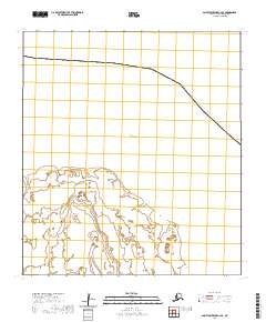
2020 · Saint Lawrence C-2 SE
USGS Topo · 1:25,000
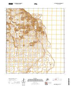
2020 · Saint Lawrence C-3 NE
USGS Topo · 1:25,000
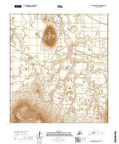
2020 · Saint Lawrence B-2 NE
USGS Topo · 1:25,000