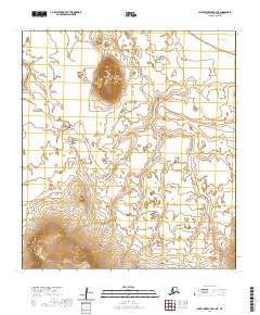
2020 Map of Saint Lawrence B-2 NE
USGS Topo · Published 2020About this map
Saint Lawrence Island is the primary geographic focus of this 2020 topographic survey, revealing a remote subarctic landscape defined by significant elevation changes and maritime proximity. The terrain is dominated by the prominent rise of Okikak Mtn, which serves as a central landmark amidst the open expanse of the island interior. To the north and east, the shoreline meets the Bering Sea, framing a coastal environment characterized by its isolation and lack of permanent infrastructure. The map depicts a territory organized by the Public Land Survey System, though it remains largely undeveloped, preserving the natural contours of the island as they exist in the modern era.
Find a feature on this map
9 named features on this map. Tap any name to fly to it.
Don’t see what you’re looking for? This feature index may not catch every label — zoom into the map to look around manually.
Map Details
Editions of this 2020 Saint Lawrence B-2 NE Map
This is the sole edition of this map. No revisions or reprints were ever made.
Other maps of this area

1948 · St Lawrence
USGS Topo · 1:250,000

1949 · St Lawrence
USGS Topo · 1:250,000

1964 · St Lawrence
USGS Topo · 1:250,000
2020 · Saint Lawrence B-2 NW
USGS Topo · 1:25,000
2020 · Saint Lawrence B-1 SW
USGS Topo · 1:25,000
2020 · Saint Lawrence B-2 SW
USGS Topo · 1:25,000
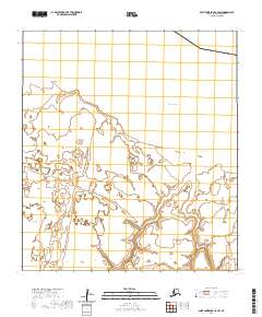
2020 · Saint Lawrence C-2 SW
USGS Topo · 1:25,000
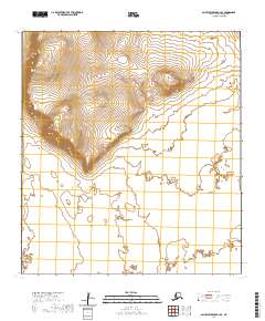
2020 · Saint Lawrence B-2 SE
USGS Topo · 1:25,000
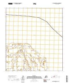
2020 · Saint Lawrence C-2 SE
USGS Topo · 1:25,000
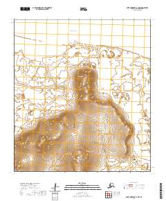
2020 · Saint Lawrence B-1 NW
USGS Topo · 1:25,000