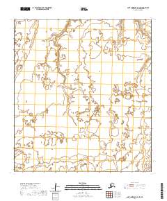
2020 Map of Saint Lawrence B-2 NW
USGS Topo · Published 2020About this map
Hydrological patterns and shoreline contours dominate this remote island landscape within the Nome Census Area, as documented by the U.S. Geological Survey. The terrain is defined by an intricate network of wetlands, coastal inlets, and interior ponds, illustrating the complex drainage of the region. Surveyed boundaries such as T24s R59w and T25s R58w provide the primary framework for this uninhabited expanse. The absence of roads or named settlements underscores the pristine and strictly natural state of the island interior at this time. Researchers of the Public Land Survey System can trace the exact section and township alignments across the northern reaches of T24s R58w and down through T26s R59w.
Find a feature on this map
7 named features on this map. Tap any name to fly to it.
Don’t see what you’re looking for? This feature index may not catch every label — zoom into the map to look around manually.
Map Details
Editions of this 2020 Saint Lawrence B-2 NW Map
This is the sole edition of this map. No revisions or reprints were ever made.
Other maps of this area

1948 · St Lawrence
USGS Topo · 1:250,000

1949 · St Lawrence
USGS Topo · 1:250,000

1964 · St Lawrence
USGS Topo · 1:250,000
2020 · Saint Lawrence C-3 SE
USGS Topo · 1:25,000
2020 · Saint Lawrence B-2 SW
USGS Topo · 1:25,000
2020 · Saint Lawrence B-3 NE
USGS Topo · 1:25,000
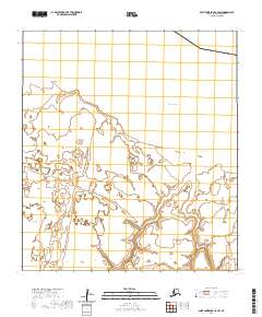
2020 · Saint Lawrence C-2 SW
USGS Topo · 1:25,000
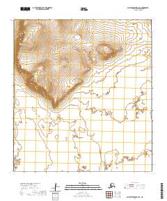
2020 · Saint Lawrence B-2 SE
USGS Topo · 1:25,000
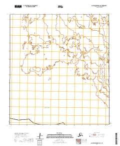
2020 · Saint Lawrence B-3 SE
USGS Topo · 1:25,000
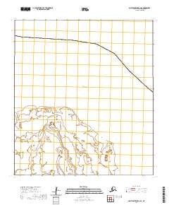
2020 · Saint Lawrence C-2 SE
USGS Topo · 1:25,000