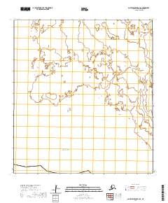
2020 Map of Saint Lawrence B-3 SE
USGS Topo · Published 2020About this map
Oomeyaluk Bay and the surrounding coastline of Saint Lawrence Island are the focal points of this coastal study in the Bering Sea. The landscape is defined by its low-lying maritime features, specifically Emekyalok Point to the west and Gheena Point further east. This modern survey reflects the enduring geography of the Nome Census Area, documenting a shoreline where land and sea interlock in a series of shallow inlets and coastal extensions. The map details the Public Land Survey System divisions across several townships, including t26s r60w and t27s r60w, providing a precise spatial framework for this isolated Alaskan environment. Researchers and geographers will find a clear representation of the coastal geometry as it existed at the start of the 2020s, showing the intersection of maritime reaches and uninhabited tundra.
Find a feature on this map
10 named features on this map. Tap any name to fly to it.
Don’t see what you’re looking for? This feature index may not catch every label — zoom into the map to look around manually.
Map Details
Editions of this 2020 Saint Lawrence B-3 SE Map
This is the sole edition of this map. No revisions or reprints were ever made.
Other maps of this area

1948 · St Lawrence
USGS Topo · 1:250,000

1949 · St Lawrence
USGS Topo · 1:250,000

1964 · St Lawrence
USGS Topo · 1:250,000
2020 · Saint Lawrence B-3 NW
USGS Topo · 1:25,000
2020 · Saint Lawrence B-2 NW
USGS Topo · 1:25,000
2020 · Saint Lawrence A-2 NW
USGS Topo · 1:25,000
2020 · Saint Lawrence B-2 SW
USGS Topo · 1:25,000
2020 · Saint Lawrence B-3 NE
USGS Topo · 1:25,000
2020 · Saint Lawrence B-3 SW
USGS Topo · 1:25,000