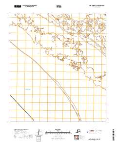
2020 Map of Saint Lawrence B-3 NW
USGS Topo · Published 2020About this map
Koozata Lagoon stretches across the interior of this coastal reach on Saint Lawrence Island, reflecting the dynamic aquatic landscape of the Nome Census Area. Bordered by the Bering Sea to the south and west, the map details a region defined by extensive coastal wetlands and tidal influences. The terrain is organized by the Public Land Survey System, with township boundaries such as t25s r61w and t24s r61w delineating the remote topography. This 2020 survey provides a precise record of the shoreline and lagoon systems during the early 21st century, capturing the intersection of the island's interior drainage and the open sea.
Find a feature on this map
7 named features on this map. Tap any name to fly to it.
Don’t see what you’re looking for? This feature index may not catch every label — zoom into the map to look around manually.
Map Details
Editions of this 2020 Saint Lawrence B-3 NW Map
This is the sole edition of this map. No revisions or reprints were ever made.
Other maps of this area

1948 · St Lawrence
USGS Topo · 1:250,000

1949 · St Lawrence
USGS Topo · 1:250,000

1964 · St Lawrence
USGS Topo · 1:250,000

2020 · Saint Lawrence C-4 SE
USGS Topo · 1:25,000
2020 · Saint Lawrence C-3 SW
USGS Topo · 1:25,000
2020 · Saint Lawrence C-3 SE
USGS Topo · 1:25,000
2020 · Saint Lawrence B-3 NE
USGS Topo · 1:25,000
2020 · Saint Lawrence B-3 SW
USGS Topo · 1:25,000
2020 · Saint Lawrence B-4 NE
USGS Topo · 1:25,000
2020 · Saint Lawrence B-3 SE
USGS Topo · 1:25,000