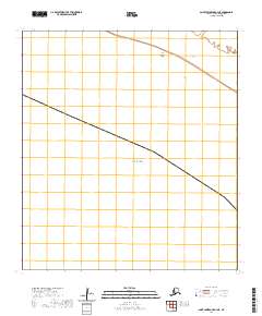
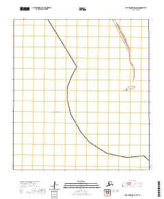
2020 Map of Saint Lawrence B-4 NE
USGS Topo · Published 2020About this map
Saint Lawrence Island sits at the northern edge of the Bering Sea in this 2020 map, documenting a remote stretch of the Alaska coastline. This section of the island is dominated by the sprawling expanse of the Koozata Lagoon, a significant coastal water body that defines the local geography. The map primarily records the natural shoreline and the expansive maritime environment surrounding the island, reflecting the quiet, undisturbed character of this Arctic landscape. There are no major settlements or industrial developments shown, emphasizing the wilderness state of the region. Instead, the focus remains on the precise delineation of the coastline and the relationship between the island and the open sea. This document serves as a modern record of the island's topography, useful for tracking changes in coastal features and hydrology in the Nome Census Area.
Find a feature on this map
7 named features on this map. Tap any name to fly to it.
Don’t see what you’re looking for? This feature index may not catch every label — zoom into the map to look around manually.
Map Details
Editions of this 2020 Saint Lawrence B-4 NE Map
This is the sole edition of this map. No revisions or reprints were ever made.
Other maps of this area

1948 · St Lawrence
USGS Topo · 1:250,000

1949 · St Lawrence
USGS Topo · 1:250,000

1964 · St Lawrence
USGS Topo · 1:250,000

2020 · Saint Lawrence C-4 SE
USGS Topo · 1:25,000
2020 · Saint Lawrence B-3 NW
USGS Topo · 1:25,000
2020 · Saint Lawrence C-3 SW
USGS Topo · 1:25,000
2020 · Saint Lawrence C-4 SW
USGS Topo · 1:25,000
2020 · Saint Lawrence B-3 SW
USGS Topo · 1:25,000