
2020 Map of Saint Lawrence C-4 SE
USGS Topo · Published 2020About this map
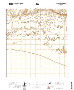
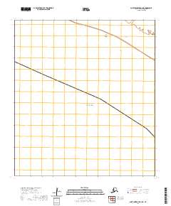
Koozata Lagoon dominates the southern reaches of this coastal landscape on the southern shore of Saint Lawrence Island. This 2020 topographic record depicts the intricate drainage patterns and low-lying coastal wetlands typical of the island’s southern edge, where the land meets the Bering Sea. The survey details the Public Land Survey System grids, including townships such as t23s r62w and t24s r62w, which segment the undeveloped expanse. With a fine contour interval of 10 feet, the map reveals the subtle elevations and numerous small water bodies that define the transition from the upland interior to the lagoon-laced shoreline.
Find a feature on this map
8 named features on this map. Tap any name to fly to it.
Don’t see what you’re looking for? This feature index may not catch every label — zoom into the map to look around manually.
Map Details
Editions of this 2020 Saint Lawrence C-4 SE Map
This is the sole edition of this map. No revisions or reprints were ever made.
Other maps of this area

1948 · St Lawrence
USGS Topo · 1:250,000

1949 · St Lawrence
USGS Topo · 1:250,000

1964 · St Lawrence
USGS Topo · 1:250,000

2020 · Saint Lawrence C-4 NE
USGS Topo · 1:25,000
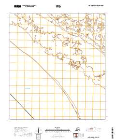
2020 · Saint Lawrence B-3 NW
USGS Topo · 1:25,000
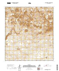
2020 · Saint Lawrence C-3 NW
USGS Topo · 1:25,000
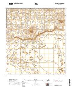
2020 · Saint Lawrence C-3 SW
USGS Topo · 1:25,000
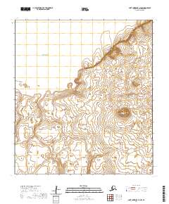
2020 · Saint Lawrence C-4 NW
USGS Topo · 1:25,000
2020 · Saint Lawrence C-4 SW
USGS Topo · 1:25,000
2020 · Saint Lawrence B-4 NE
USGS Topo · 1:25,000