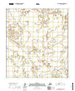
2020 Map of Saint Lawrence B-3 NE
USGS Topo · Published 2020About this map
Saint-Lawrence Island in the Bering Sea is documented here in a 2020 United States Geological Survey study, revealing the isolated terrain and complex hydrography of this northern territory. The map focuses on the interior and coastline of the island, where the land rises toward the landmark Keesin Peak. This survey provides a precise look at the township and range system across the landscape, including t25s r60w and t24s r59w, mapping the intricate network of wetlands and small water bodies that characterize this subarctic environment. The lack of roads or established settlements emphasizes the remote nature of the island’s interior, serving as a modern reference for the region's geography and topographical features.
Find a feature on this map
10 named features on this map. Tap any name to fly to it.
Don’t see what you’re looking for? This feature index may not catch every label — zoom into the map to look around manually.
Map Details
Editions of this 2020 Saint Lawrence B-3 NE Map
This is the sole edition of this map. No revisions or reprints were ever made.
Other maps of this area

1948 · St Lawrence
USGS Topo · 1:250,000

1949 · St Lawrence
USGS Topo · 1:250,000

1964 · St Lawrence
USGS Topo · 1:250,000
2020 · Saint Lawrence B-3 NW
USGS Topo · 1:25,000
2020 · Saint Lawrence C-3 SW
USGS Topo · 1:25,000
2020 · Saint Lawrence B-2 NW
USGS Topo · 1:25,000
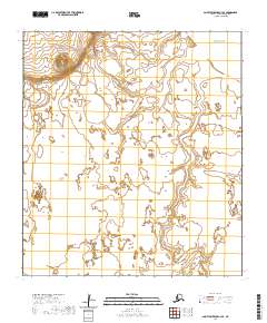
2020 · Saint Lawrence C-3 SE
USGS Topo · 1:25,000
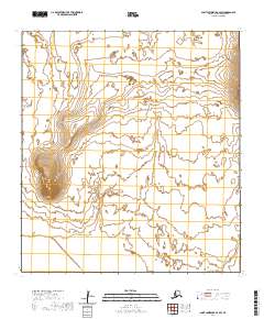
2020 · Saint Lawrence B-2 SW
USGS Topo · 1:25,000
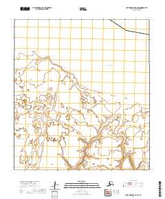
2020 · Saint Lawrence C-2 SW
USGS Topo · 1:25,000
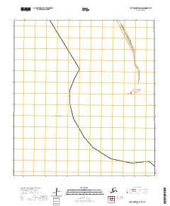
2020 · Saint Lawrence B-3 SW
USGS Topo · 1:25,000