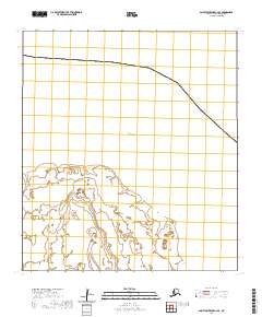
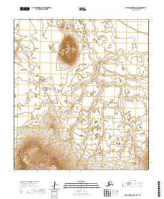
2020 Map of Saint Lawrence C-2 SE
USGS Topo · Published 2020About this map
Akoolokok Point and Alngeeyak Point define the coastal geography of this section of Saint Lawrence Island, where the land meets the cold waters of the Bering Sea. This remote landscape, documented in 2020, reveals a coastline characterized by low-lying wetlands and intricate tidal inlets. The presence of established township boundaries, specifically t24s r57w and t24s r56w, indicates the formal surveying of this isolated region within the Nome Census Area. The topography is predominantly flat, with fine-grained contour intervals showing subtle shifts in the island's coastal apron, a landscape where the natural features of the shoreline remain the primary identifiers for navigation and local history.
Find a feature on this map
5 named features on this map. Tap any name to fly to it.
Don’t see what you’re looking for? This feature index may not catch every label — zoom into the map to look around manually.
Map Details
Editions of this 2020 Saint Lawrence C-2 SE Map
This is the sole edition of this map. No revisions or reprints were ever made.
Other maps of this area

1948 · St Lawrence
USGS Topo · 1:250,000

1949 · St Lawrence
USGS Topo · 1:250,000

1964 · St Lawrence
USGS Topo · 1:250,000
2020 · Saint Lawrence B-2 NW
USGS Topo · 1:25,000
2020 · Saint Lawrence C-2 SW
USGS Topo · 1:25,000
2020 · Saint Lawrence B-1 NW
USGS Topo · 1:25,000
2020 · Saint Lawrence B-2 NE
USGS Topo · 1:25,000