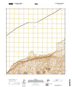
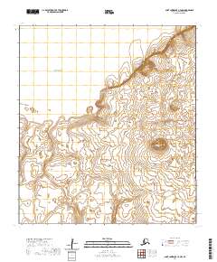
2020 Map of Saint Lawrence D-4 SE
USGS Topo · Published 2020About this map
Savoonga serves as the primary settlement on this portion of Saint Lawrence Island, situated along the northern coast where the land meets the Bering Sea. The landscape is defined by its transition from coastal waters to the elevated terrain of the interior, with prominent maritime landmarks such as Koovukseluk Point and Lyeelghit Cliff marking the shore. Modern infrastructure is concentrated near the coast, including the Savoonga Airport and Kinney Road, which provides a land connection through the immediate area.
Find a feature on this map
15 named features on this map. Tap any name to fly to it.
Don’t see what you’re looking for? This feature index may not catch every label — zoom into the map to look around manually.
Map Details
Editions of this 2020 Saint Lawrence D-4 SE Map
This is the sole edition of this map. No revisions or reprints were ever made.
Other maps of this area

1948 · St Lawrence
USGS Topo · 1:250,000

1949 · St Lawrence
USGS Topo · 1:250,000

1964 · St Lawrence
USGS Topo · 1:250,000

2020 · Saint Lawrence C-4 NE
USGS Topo · 1:25,000
2020 · Saint Lawrence D-4 SW
USGS Topo · 1:25,000
2020 · Saint Lawrence D-3 SW
USGS Topo · 1:25,000
2020 · Saint Lawrence C-3 NW
USGS Topo · 1:25,000
2020 · Saint Lawrence C-4 NW
USGS Topo · 1:25,000