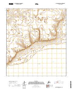
2020 Map of Saint Lawrence C-5 SE
USGS Topo · Published 2020About this map
The coastal transition of Saint Lawrence Island is defined here by the meeting of the Bering Sea and the southern edge of the Putgut Plateau. This 2020 survey illustrates a sparsely developed landscape where the island’s interior highlands descend toward tidal features, including the sheltered waters of Koozata Lagoon and the indentation of Powooiliak Bay. The map provides a contemporary record of these geographical landmarks within the Nome Census Area, showing the relationship between the elevated plateau and the expansive lagoon system that characterizes the island's southern shoreline. This document is essential for understanding the modern topographic state of this remote Alaskan environment.
Find a feature on this map
8 named features on this map. Tap any name to fly to it.
Don’t see what you’re looking for? This feature index may not catch every label — zoom into the map to look around manually.
Map Details
Editions of this 2020 Saint Lawrence C-5 SE Map
This is the sole edition of this map. No revisions or reprints were ever made.
Other maps of this area

1948 · St Lawrence
USGS Topo · 1:250,000

1949 · St Lawrence
USGS Topo · 1:250,000

1964 · St Lawrence
USGS Topo · 1:250,000
2020 · Saint Lawrence B-5 NW
USGS Topo · 1:25,000
2020 · Saint Lawrence C-4 NW
USGS Topo · 1:25,000
2020 · Saint Lawrence C-5 NW
USGS Topo · 1:25,000
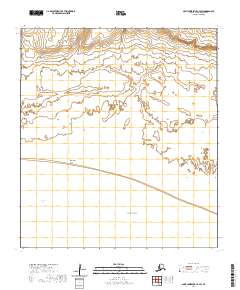
2020 · Saint Lawrence C-4 SW
USGS Topo · 1:25,000
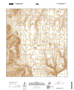
2020 · Saint Lawrence C-5 SW
USGS Topo · 1:25,000
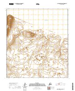
2020 · Saint Lawrence C-5 NE
USGS Topo · 1:25,000