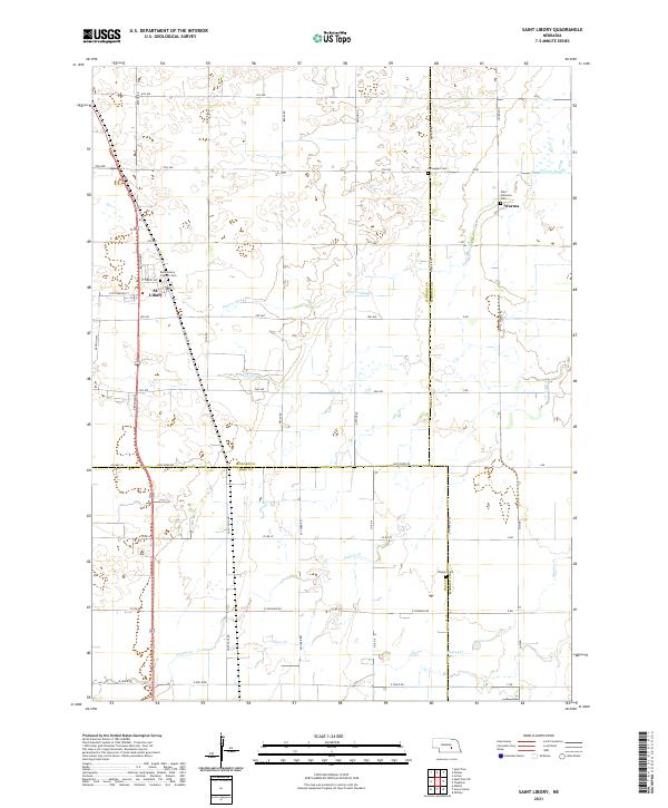
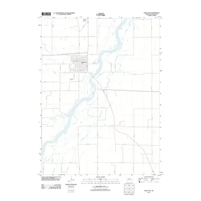
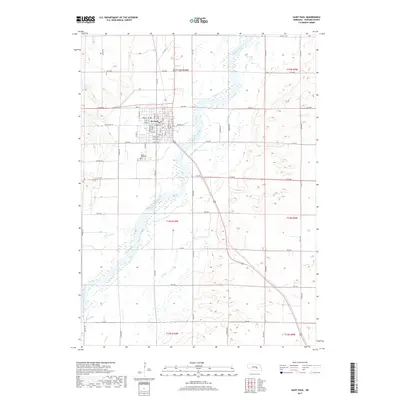
2021 Map of Saint Libory
USGS Topo · Published 2021About this map
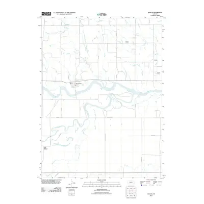
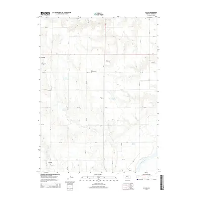
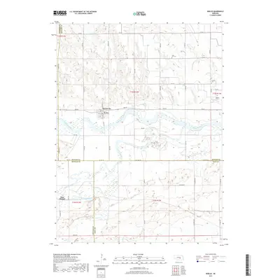
St. Libory serves as the primary settlement on this central Nebraska landscape, situated near the intersection of Denton Rd and St Libory Ave. The village is anchored by the Saint Libory Catholic Cem, reflecting the area's deep-rooted community heritage. To the east, the settlement of Worms is centered around the Zion Lutheran Cem, illustrating the distinct pocketed development typical of this rural region.
Find a feature on this map
55 named features on this map. Tap any name to fly to it.
Don’t see what you’re looking for? This feature index may not catch every label — zoom into the map to look around manually.
Map Details
Editions of this 2021 Saint Libory Map
This is the sole edition of this map. No revisions or reprints were ever made.
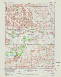
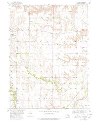
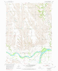
Historical Maps of Saint Libory Through Time
28 maps found
1953 Boelus
Howard County, NE
1953 Nysted
Howard County, NE
1955 Wolbach SW
Howard County, NE
1961 St. Paul SW
Howard County, NE
2011 Boelus
Howard County, NE
2011 Nysted
Howard County, NE
2011 Saint Libory
Howard County, NE
2011 Saint Paul
Howard County, NE
2011 Saint Paul SW
Howard County, NE
2011 Wolbach SW
Howard County, NE
2014 Boelus
Howard County, NE
2014 Nysted
Howard County, NE
2014 Saint Libory
Howard County, NE
2014 Saint Paul
Howard County, NE
2014 Saint Paul SW
Howard County, NE
2014 Wolbach SW
Howard County, NE
2017 Boelus
Howard County, NE
2017 Nysted
Howard County, NE
2017 Saint Libory
Howard County, NE
2017 Saint Paul
Howard County, NE
2017 Saint Paul SW
Howard County, NE
2017 Wolbach SW
Howard County, NE
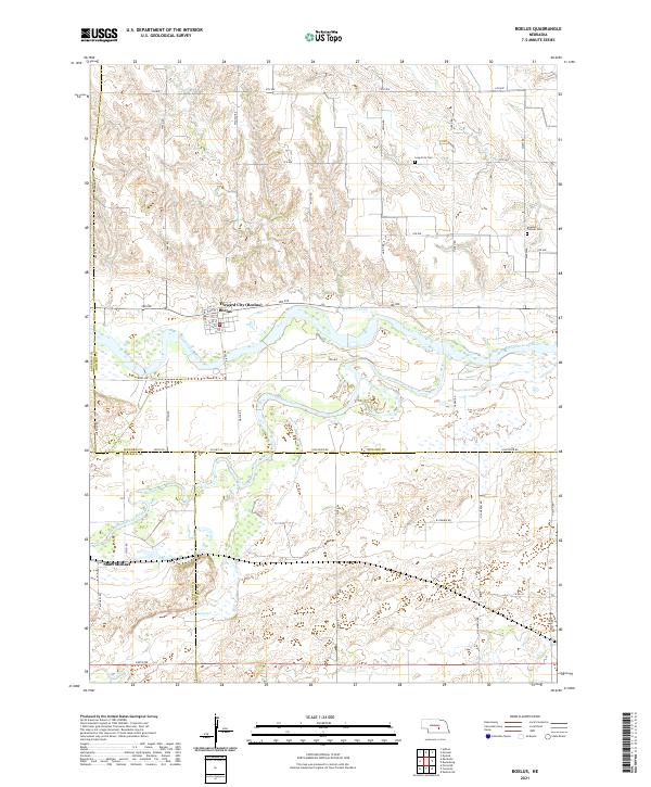
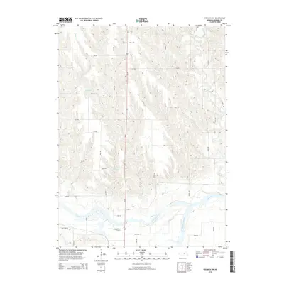
2021 Boelus
Howard County, NE
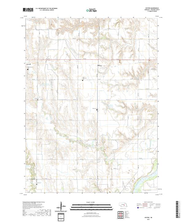
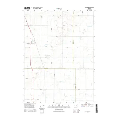
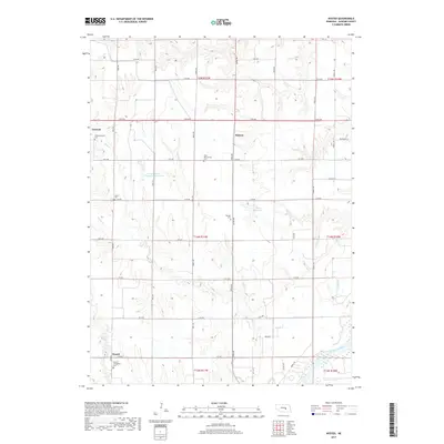
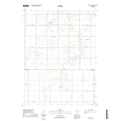
2021 Nysted
Howard County, NE
2021 Saint Libory
Howard County, NE
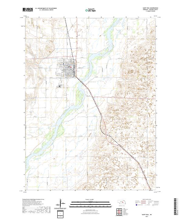
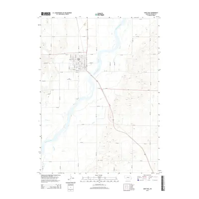
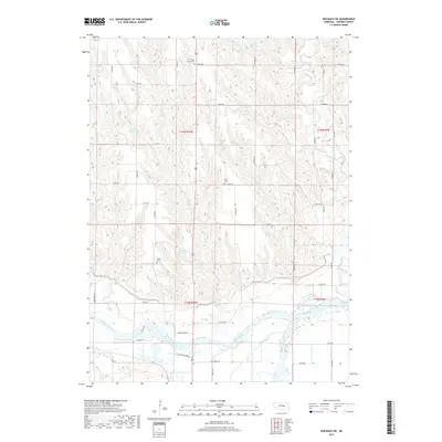
2021 Saint Paul
Howard County, NE
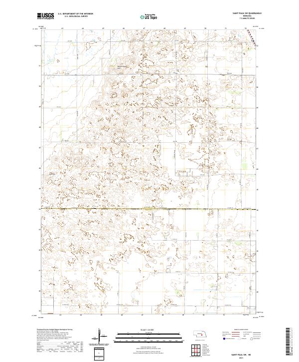
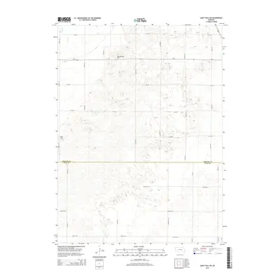
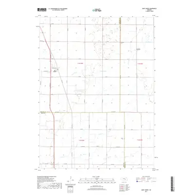
2021 Saint Paul SW
Howard County, NE
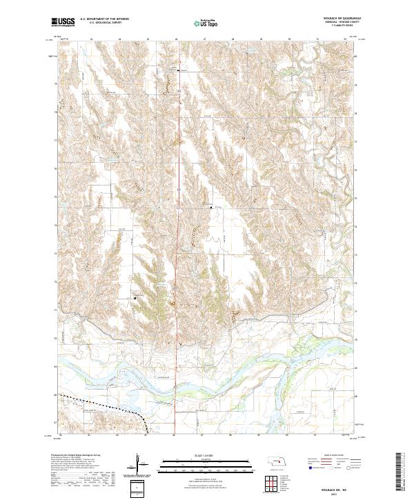
2021 Wolbach SW
Howard County, NE