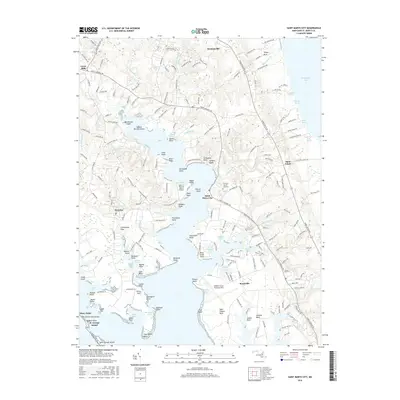
2016 Map of Saint Marys City
USGS Topo · Published 2016About this map
Saint Marys City and the surrounding Potomac River tributaries are documented here at a time of continued academic and maritime activity. The landscape is dominated by the sprawling campus of St Mary's Coll of Maryland and the operational footprint of Webster Naval Outlying Field. Waterways such as Milburn Creek, Carthagena Cr, and Inigoes Cr carve deep into the peninsula, defining the settlement patterns and providing access to the Chesapeake Bay.
Find a feature on this map
206 named features on this map. Tap any name to fly to it.
Don’t see what you’re looking for? This feature index may not catch every label — zoom into the map to look around manually.
Map Details
Editions of this 2016 Saint Marys City Map
This is the sole edition of this map. No revisions or reprints were ever made.
Other maps of this area

1892 · Leonardtown
USGS Topo · 1:62,500

1892 · Drum Point
USGS Topo · 1:62,500

1892 · Piney Point
USGS Topo · 1:62,500

1894 · Piney Point
USGS Topo · 1:62,500

1894 · Point Lookout
USGS Topo · 1:62,500

1895 · Leonardtown
USGS Topo · 1:62,500

1895 · Nomini
USGS Topo · 1:125,000

1895 · Piney Point
USGS Topo · 1:62,500

1898 · Nomini
USGS Topo · 1:125,000

1898 · St. Marys
USGS Topo · 1:125,000