2020 Map of Saint Matthew A-5 NW
USGS Topo · Published 2020About this map
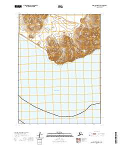
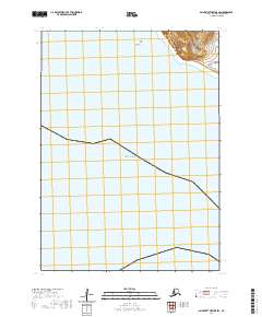
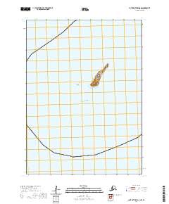
The isolated volcanic terrain of Pinnacle Island rises sharply from the Bering Sea, southwest of the larger Saint Matthew Island landmass. This 2020 survey illustrates the stark bathymetry and rugged contours of this uninhabited rock, accompanied by the nearby Gull Rock. This section of the Bethel Census Area is defined by its extreme isolation and navigational significance within the maritime environment. The mapping of t2n r135w and t1n r135w township boundaries provides a structural grid over an area otherwise dominated by open water and sheer cliffs.
Find a feature on this map
5 named features on this map. Tap any name to fly to it.
Don’t see what you’re looking for? This feature index may not catch every label — zoom into the map to look around manually.
Map Details
Editions of this 2020 Saint Matthew A-5 NW Map
This is the sole edition of this map. No revisions or reprints were ever made.