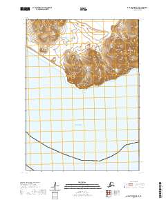
2020 Map of Saint Matthew B-5 SE
USGS Topo · Published 2020About this map
Sugarloaf Mtn dominates the central landscape of this remote coastal section, rising as a prominent island peak above the surrounding waters. The topography reveals a stark, uninhabited terrain where the steep slopes of the mountain meet the southern expanse of the Bering Sea. This sheet captures a strictly natural environment, defined by its isolation and the dramatic vertical relief of the peak against the marine horizon. The grid lines of the Public Land Survey System, including t3n r135w, t3n r134w, and t2n r135w, delineate the area's transition from shoreline to open water, illustrating the intersection of maritime and land surveying at the edge of the continent.
Find a feature on this map
41 named features on this map. Tap any name to fly to it.
Don’t see what you’re looking for? This feature index may not catch every label — zoom into the map to look around manually.
Map Details
Editions of this 2020 Saint Matthew B-5 SE Map
This is the sole edition of this map. No revisions or reprints were ever made.
Other maps of this area
1951 · St Matthew
USGS Topo · 1:250,000

1969 · St. Matthew
USGS Topo · 1:250,000
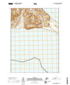
2020 · Saint Matthew B-4 SW
USGS Topo · 1:25,000

2020 · Saint Matthew A-5 NW
USGS Topo · 1:25,000
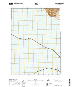
2020 · Saint Matthew B-5 SW
USGS Topo · 1:25,000
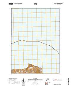
2020 · Saint Matthew B-4 NW
USGS Topo · 1:25,000
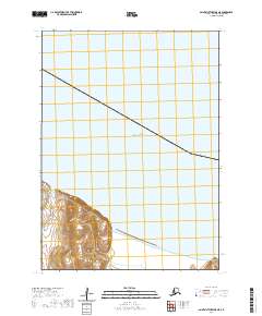
2020 · Saint Matthew B-5 NE
USGS Topo · 1:25,000
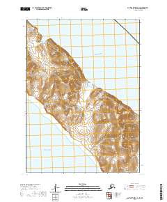
2020 · Saint Matthew B-5 NW
USGS Topo · 1:25,000