2020 Map of Saint Matthew B-4 SW
USGS Topo · Published 2020About this map
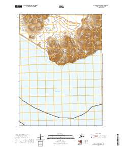
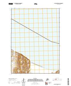
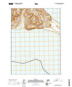
Saint Matthew Island occupies the northern half of this coastal survey, rising from the Bering Sea in a series of steep, dramatic contours. The island's topography is marked by significant elevation changes that peak in the northwest, suggesting a high, rocky plateau characteristic of this remote volcanic outcrop. As part of the Bethel Census Area, this uninhabited landmass serves as a critical refuge for local wildlife. The coastline is defined by sharp cliffs and small bights, particularly along the southern shore near the section boundaries of t3n r133w and t3n r134w. Aside from the natural landforms, the map is remarkably sparse, focusing on the intersection of maritime reaches and the island's isolated terrain in a region rarely documented with such precision.
Find a feature on this map
5 named features on this map. Tap any name to fly to it.
Don’t see what you’re looking for? This feature index may not catch every label — zoom into the map to look around manually.
Map Details
Editions of this 2020 Saint Matthew B-4 SW Map
This is the sole edition of this map. No revisions or reprints were ever made.