2020 Map of Saint Matthew B-4 SE
USGS Topo · Published 2020About this map
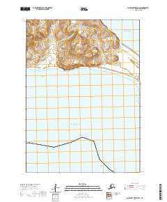
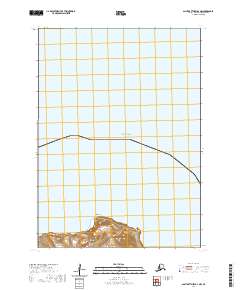
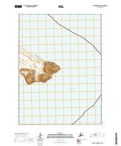
Cape Upright rises sharply from the Bering Sea on the eastern edge of Saint Matthew Island, anchoring this remote maritime landscape. This survey by the U.S. Geological Survey focuses on the southeastern tip of the island, where high-relief terrain terminates abruptly at the coastline. The map records the precise topography of the cape, with contour lines illustrating the steep ascent from the water's edge to the high points above the sea. Beyond the landmass of the cape, the map is dominated by the surrounding waters of the Bering Sea, highlighting the isolation of this Arctic island. The absence of roads, buildings, or named settlements reflects the uninhabited and protected status of the land, leaving the natural coastal features and the Public Land Survey System boundaries as the primary records of human interface with this environment.
Find a feature on this map
6 named features on this map. Tap any name to fly to it.
Don’t see what you’re looking for? This feature index may not catch every label — zoom into the map to look around manually.
Map Details
Editions of this 2020 Saint Matthew B-4 SE Map
This is the sole edition of this map. No revisions or reprints were ever made.