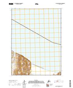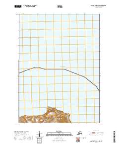
2020 Map of Saint Matthew B-4 NW
USGS Topo · Published 2020About this map
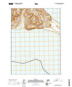
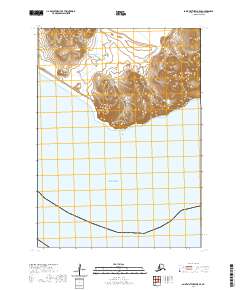
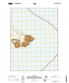
Lunda Head rises as a prominent coastal landmark on the southern edge of this Bering Sea survey. Located within the remote Bethel Census Area, the map documents a largely untouched maritime environment where the high bluffs of Lunda Head meet the vast waters of the Bering Sea. The cartography primarily illustrates the complex topography of this island landform, delineated by the survey lines of t3n r133w and t3n r134w. This 2020 edition provides essential geographic data for one of Alaska's most isolated maritime regions, focusing on the interface between steep coastal terrain and the open sea.
Find a feature on this map
6 named features on this map. Tap any name to fly to it.
Don’t see what you’re looking for? This feature index may not catch every label — zoom into the map to look around manually.
Map Details
Editions of this 2020 Saint Matthew B-4 NW Map
This is the sole edition of this map. No revisions or reprints were ever made.