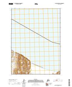
2020 Map of Saint Matthew B-5 NE
USGS Topo · Published 2020About this map
Bering Sea waters dominate this coastal survey of the Saint Matthew Island vicinity in the Bethel Census Area. The map depicts a stark maritime landscape where the ocean meets the southwestern corner of a high, island landmass. Without named settlements, roads, or man-made structures, the cartography focuses on the interaction between the tides and the steep topographic contours of the shoreline. The land area is organized by the Public Land Survey System, specifically marking the corners of t4n r135w, t4n r134w, t3n r135w, and t3n r134w. This 2020 edition provides precise modern elevations and shoreline data for one of the most isolated locations in the North Pacific.
Find a feature on this map
5 named features on this map. Tap any name to fly to it.
Don’t see what you’re looking for? This feature index may not catch every label — zoom into the map to look around manually.
Map Details
Editions of this 2020 Saint Matthew B-5 NE Map
This is the sole edition of this map. No revisions or reprints were ever made.
Other maps of this area
1951 · St Matthew
USGS Topo · 1:250,000

1969 · St. Matthew
USGS Topo · 1:250,000
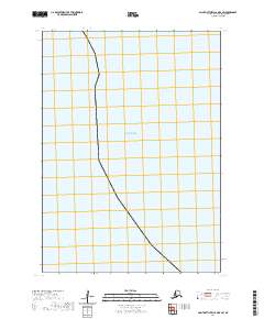
2020 · Saint Matthew C-6 OE E SW
USGS Topo · 1:25,000
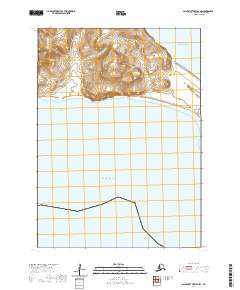
2020 · Saint Matthew B-4 SW
USGS Topo · 1:25,000
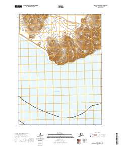
2020 · Saint Matthew B-5 SE
USGS Topo · 1:25,000
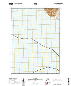
2020 · Saint Matthew B-5 SW
USGS Topo · 1:25,000
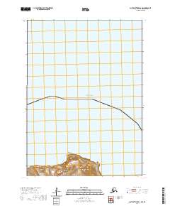
2020 · Saint Matthew B-4 NW
USGS Topo · 1:25,000
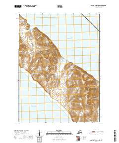
2020 · Saint Matthew B-5 NW
USGS Topo · 1:25,000