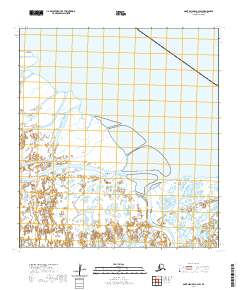
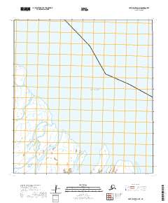
2020 Map of Saint Michael A-3 SW
USGS Topo · Published 2020About this map
Chaniliut sits at the heart of this coastal landscape, situated along a complex network of waterways where the Yukon Delta meets the Norton Sound. This 2020 survey details a region dominated by hydrologic features, emphasizing the critical role of water transport in this part of the Kusilvak Census Area. The topography is defined by the branching of major channels like Apoon Pass and Kvichvauk Pass, which navigate through an intricate wetland system.
Find a feature on this map
14 named features on this map. Tap any name to fly to it.
Don’t see what you’re looking for? This feature index may not catch every label — zoom into the map to look around manually.
Map Details
Editions of this 2020 Saint Michael A-3 SW Map
This is the sole edition of this map. No revisions or reprints were ever made.
Other maps of this area

1951 · St Michael
USGS Topo · 1:250,000

1952 · Kwiguk
USGS Topo · 1:250,000
1952 · Saint Michael A-4
USGS Topo · 1:63,360

1952 · Kwiguk D-3
USGS Topo · 1:63,360
1952 · Saint Michael A-3
USGS Topo · 1:63,360

1952 · Kwiguk D-4
USGS Topo · 1:63,360

1952 · St Michael
USGS Topo · 1:250,000

1964 · St. Michael
USGS Topo · 1:250,000
2020 · Kwiguk D-4 NE
USGS Topo · 1:25,000
2020 · Saint Michael A-4 NE
USGS Topo · 1:25,000