
1952 Map of Kwiguk D-3
USGS Topo · Published 1958About this map
Pastolik River meanders through a dense complex of wetlands and sloughs in this early 1950s survey of the Yukon Delta region. The landscape is defined by the intricate network of water, including the Chenikluk Slough, which showcases the dynamic nature of the Alaskan tundra before modern infrastructure. Near the northern reach of the river, the settlement of Pastolik and a lone Cabin indicate the sparse but established human presence in the Second Judicial Division. Grounded in aerial photography taken by the Army Map Service, the map also traces a Winter Trail, a vital overland transportation route across the frozen terrain during the winter months when the river channels became impassable by water.
Find a feature on this map
5 named features on this map. Tap any name to fly to it.
Don’t see what you’re looking for? This feature index may not catch every label — zoom into the map to look around manually.
Map Details
Editions of this 1952 Kwiguk D-3 Map
This is the sole edition of this map. No revisions or reprints were ever made.
Other maps of this area

1951 · St Michael
USGS Topo · 1:250,000

1952 · Kwiguk
USGS Topo · 1:250,000
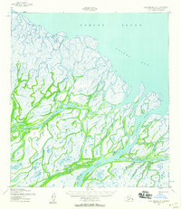
1952 · Saint Michael A-4
USGS Topo · 1:63,360

1952 · Kwiguk C-2
USGS Topo · 1:63,360

1952 · Kwiguk D-2
USGS Topo · 1:63,360
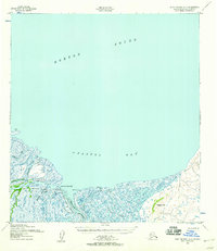
1952 · Saint Michael A-3
USGS Topo · 1:63,360

1952 · Kwiguk C-3
USGS Topo · 1:63,360

1952 · Saint Michael A-2
USGS Topo · 1:63,360

1952 · Kwiguk C-4
USGS Topo · 1:63,360

1952 · Kwiguk D-4
USGS Topo · 1:63,360