
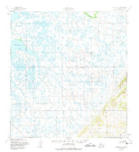
1952 Map of Kwiguk C-3
USGS Topo · Published 1958About this map
The meandering Pastolik River dominates this mid-century topographic study, carving a complex path through the low-lying wetlands of western Alaska. Surveyed by the Army Map Service using 1951-1952 aerial photography, the map reveals a vast aqueous landscape defined by countless unnamed ponds and drainage basins. In the southeast corner, the terrain shifts abruptly as the flat tundra meets a series of prominent ridges and upland slopes, where Atton Creek begins its descent. This transition from the saturated coastal plain to elevated interior highlands illustrates the geological boundary between the delta lowlands and the neighboring hills. The absence of roads or established settlements at this date emphasizes the region’s reliance on its natural waterways for navigation and orientation.
Find a feature on this map
2 named features on this map. Tap any name to fly to it.
Don’t see what you’re looking for? This feature index may not catch every label — zoom into the map to look around manually.
Map Details
Editions of this 1952 Kwiguk C-3 Map
2 editions found
Other maps of this area

1952 · Kwiguk
USGS Topo · 1:250,000

1952 · Kwiguk B-3
USGS Topo · 1:63,360

1952 · Kwiguk B-2
USGS Topo · 1:63,360

1952 · Kwiguk C-2
USGS Topo · 1:63,360

1952 · Kwiguk D-2
USGS Topo · 1:63,360

1952 · Kwiguk D-3
USGS Topo · 1:63,360

1952 · Kwiguk C-4
USGS Topo · 1:63,360

1952 · Kwiguk B-4
USGS Topo · 1:63,360

1952 · Kwiguk D-4
USGS Topo · 1:63,360
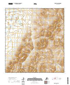
2018 · Kwiguk C-2 NW
USGS Topo · 1:25,000