
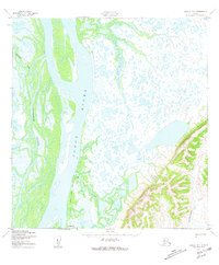
1952 Map of Kwiguk B-4
USGS Topo · Published 1959About this map
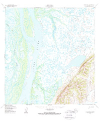
The Yukon River dominates this mid-century landscape in the Kusilvak region of Alaska, carving a wide path through a complex network of wetlands and waterways. The map illustrates a transitional environment where the massive river system splits into the Tunurorpak Channel and Kukutak Slough, illustrating the dynamic hydrology of the delta. Human presence is sparse but precisely marked by local landmarks like Patsys Cabin and a set of Cables crossing a secondary channel, reflecting the navigational and survival needs of the era. The terrain east of the river transitions into elevated hills where the Kun River and Archuelinguk River navigate more defined valleys. Seasonal movement is preserved through the marking of a Winter Trail (Approximate), which provided a vital overland link when the many lakes and sloughs were frozen over.
Find a feature on this map
8 named features on this map. Tap any name to fly to it.
Don’t see what you’re looking for? This feature index may not catch every label — zoom into the map to look around manually.
Map Details
Editions of this 1952 Kwiguk B-4 Map
3 editions found
Other maps of this area

1952 · Kwiguk
USGS Topo · 1:250,000

1952 · Kwiguk B-3
USGS Topo · 1:63,360

1952 · Kwiguk C-3
USGS Topo · 1:63,360

1952 · Kwiguk A-5
USGS Topo · 1:63,360

1952 · Kwiguk B-5
USGS Topo · 1:63,360

1952 · Kwiguk C-4
USGS Topo · 1:63,360

1952 · Kwiguk A-4
USGS Topo · 1:63,360

1952 · Kwiguk C-5
USGS Topo · 1:63,360

1952 · Kwiguk A-3
USGS Topo · 1:63,360
2020 · Kwiguk B-3 NW
USGS Topo · 1:25,000