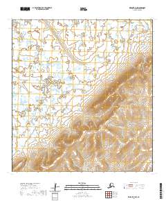
2020 Map of Kwiguk B-3 NW
USGS Topo · Published 2020About this map
The Archuelinguk River winds through the southern reaches of this landscape in the Kusilvak Census Area, illustrating the complex hydrography of the Alaskan delta. This 2020 USGS topographic survey documents a transition from low-lying wetlands in the north to increasingly dissected terrain as the elevation rises toward the south and east. Allen Cr flows through the central portion of the map, cutting through land marked by the Public Land Survey System grids of t27n r76w and t28n r76w. The lack of named settlements or roads underscores the wilderness character of the region, where the natural water systems remain the primary geographic identifiers.
Find a feature on this map
11 named features on this map. Tap any name to fly to it.
Don’t see what you’re looking for? This feature index may not catch every label — zoom into the map to look around manually.
Map Details
Editions of this 2020 Kwiguk B-3 NW Map
This is the sole edition of this map. No revisions or reprints were ever made.
Other maps of this area

1952 · Kwiguk
USGS Topo · 1:250,000

1952 · Kwiguk B-3
USGS Topo · 1:63,360

1952 · Kwiguk C-3
USGS Topo · 1:63,360

1952 · Kwiguk C-4
USGS Topo · 1:63,360

1952 · Kwiguk B-4
USGS Topo · 1:63,360
2020 · Kwiguk C-4 SE
USGS Topo · 1:25,000
2020 · Kwiguk C-3 SW
USGS Topo · 1:25,000
2020 · Kwiguk C-3 SE
USGS Topo · 1:25,000
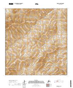
2020 · Kwiguk B-3 NE
USGS Topo · 1:25,000
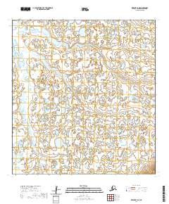
2020 · Kwiguk B-4 NE
USGS Topo · 1:25,000