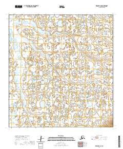
2020 Map of Kwiguk B-4 NE
USGS Topo · Published 2020About this map
Hydrological patterns and remote Alaskan terrain define this survey of the Kusilvak Census Area. The landscape is dominated by an intricate network of wetlands, small ponds, and winding watercourses characteristic of the Yukon-Kuskokwim Delta region. The map is primarily organized by the Public Land Survey System, with boundaries such as T28n R78w and T27n R78w marking the vast, uninhabited reaches of the tundra. Unlike many maps of more developed regions, this sheet is notable for its total lack of named man-made structures, roads, or permanent settlements. Instead, it captures a raw environmental profile where the physical geography itself is the primary record. The intricate detail of the shoreline and elevation contours provided by the National Hydrography and Elevation Datasets illustrates the complex drainage system of the area, providing a specialized resource for understanding this specific portion of the Alaskan wilderness as it existed in the early twenty-first century.
Find a feature on this map
6 named features on this map. Tap any name to fly to it.
Don’t see what you’re looking for? This feature index may not catch every label — zoom into the map to look around manually.
Map Details
Editions of this 2020 Kwiguk B-4 NE Map
This is the sole edition of this map. No revisions or reprints were ever made.
Other maps of this area

1952 · Kwiguk
USGS Topo · 1:250,000

1952 · Kwiguk B-3
USGS Topo · 1:63,360

1952 · Kwiguk C-3
USGS Topo · 1:63,360

1952 · Kwiguk C-4
USGS Topo · 1:63,360

1952 · Kwiguk B-4
USGS Topo · 1:63,360
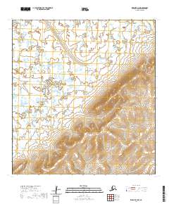
2020 · Kwiguk B-3 NW
USGS Topo · 1:25,000
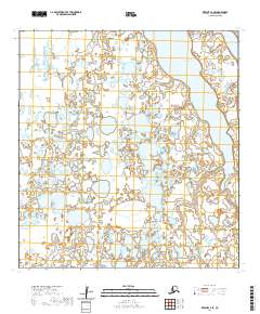
2020 · Kwiguk C-4 SE
USGS Topo · 1:25,000
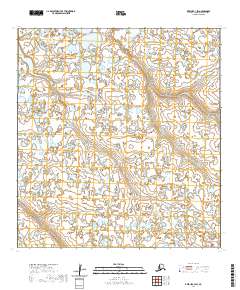
2020 · Kwiguk C-3 SW
USGS Topo · 1:25,000
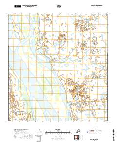
2020 · Kwiguk C-4 SW
USGS Topo · 1:25,000
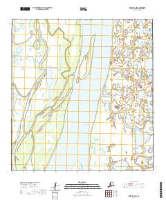
2020 · Kwiguk B-4 SW
USGS Topo · 1:25,000