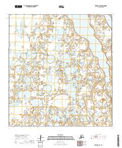
2020 Map of Kwiguk C-4 SE
USGS Topo · Published 2020About this map
Hydrologic patterns define this sub-arctic expanse within the Kusilvak Census Area, where the dominant feature is the elongated reach of Nanyaranak Lake. This map captures a landscape characterized by an intricate network of wetlands and unnamed water bodies that cover nearly the entire terrain, illustrating the complex drainage of the Yukon Delta region. While no permanent settlements or roads are recorded on this 2020 survey, the area is meticulously gridded for the Public Land Survey System, spanning portions of t29n r77w, t29n r76w, t28n r78w, and t28n r77w. This detailed grid provides a spatial reference for a wilderness area defined by its reliance on seasonal water levels and shifting shoreline boundaries.
Find a feature on this map
5 named features on this map. Tap any name to fly to it.
Don’t see what you’re looking for? This feature index may not catch every label — zoom into the map to look around manually.
Map Details
Editions of this 2020 Kwiguk C-4 SE Map
This is the sole edition of this map. No revisions or reprints were ever made.
Other maps of this area

1952 · Kwiguk
USGS Topo · 1:250,000

1952 · Kwiguk B-3
USGS Topo · 1:63,360

1952 · Kwiguk C-3
USGS Topo · 1:63,360

1952 · Kwiguk C-4
USGS Topo · 1:63,360

1952 · Kwiguk B-4
USGS Topo · 1:63,360
2020 · Kwiguk B-3 NW
USGS Topo · 1:25,000
2020 · Kwiguk C-4 NE
USGS Topo · 1:25,000
2020 · Kwiguk C-3 SW
USGS Topo · 1:25,000
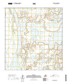
2020 · Kwiguk C-4 NW
USGS Topo · 1:25,000
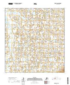
2020 · Kwiguk B-4 NE
USGS Topo · 1:25,000