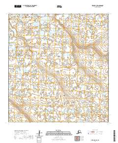
2020 Map of Kwiguk C-3 SW
USGS Topo · Published 2020About this map
Nanvaranak Lake dominates the northwest corner of this 2020 study area in the Kusilvak Census Area, where the landscape is defined by a dense network of wetlands and seasonal water bodies typical of the Yukon-Kuskokwim Delta. The map illustrates the Public Land Survey System grid including parts of t29n r76w, t29n r75w, and t28n r76w. This is a largely unsettled region of interior Alaska, where the topography is remarkably flat, shaped by meandering hydrography and alluvial processes rather than human development. For researchers, the value lies in the precise recording of water boundaries and township lines in an area where physical landmarks are few and far between.
Find a feature on this map
6 named features on this map. Tap any name to fly to it.
Don’t see what you’re looking for? This feature index may not catch every label — zoom into the map to look around manually.
Map Details
Editions of this 2020 Kwiguk C-3 SW Map
This is the sole edition of this map. No revisions or reprints were ever made.
Other maps of this area

1952 · Kwiguk
USGS Topo · 1:250,000

1952 · Kwiguk B-3
USGS Topo · 1:63,360

1952 · Kwiguk C-3
USGS Topo · 1:63,360

1952 · Kwiguk C-4
USGS Topo · 1:63,360

1952 · Kwiguk B-4
USGS Topo · 1:63,360
2020 · Kwiguk B-3 NW
USGS Topo · 1:25,000
2020 · Kwiguk C-4 NE
USGS Topo · 1:25,000
2020 · Kwiguk C-4 SE
USGS Topo · 1:25,000
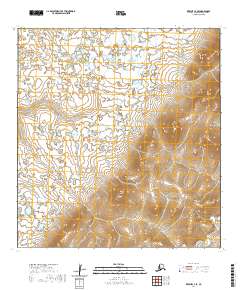
2020 · Kwiguk C-3 SE
USGS Topo · 1:25,000
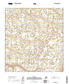
2020 · Kwiguk C-3 NE
USGS Topo · 1:25,000