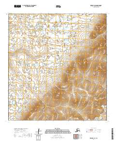
2020 Map of Kwiguk C-3 SE
USGS Topo · Published 2020About this map
The Nulato Hills dominate the topography of this western Alaskan survey, where the upland terrain transitions into a complex network of wetlands and drainage basins. Located in the Kusilvak Census Area, the landscape is defined by the elevation changes of the hills and the winding course of Allen Cr in the southeastern corner. This mapping highlights the intersection of several township and range boundaries, including t29n r74w and t28n r75w, providing a clear look at the public land survey system in this remote region. The lack of named settlements emphasizes the character of this territory as a primarily uninhabited expanse of wilderness, where the natural hydrology and topographical contours are the primary identifiers for navigation and land management.
Find a feature on this map
7 named features on this map. Tap any name to fly to it.
Don’t see what you’re looking for? This feature index may not catch every label — zoom into the map to look around manually.
Map Details
Editions of this 2020 Kwiguk C-3 SE Map
This is the sole edition of this map. No revisions or reprints were ever made.
Other maps of this area

1952 · Kwiguk
USGS Topo · 1:250,000

1952 · Kwiguk B-3
USGS Topo · 1:63,360

1952 · Kwiguk B-2
USGS Topo · 1:63,360

1952 · Kwiguk C-2
USGS Topo · 1:63,360

1952 · Kwiguk C-3
USGS Topo · 1:63,360
2018 · Kwiguk C-2 NW
USGS Topo · 1:25,000
2018 · Kwiguk C-2 SW
USGS Topo · 1:25,000
2018 · Kwiguk B-2 NW
USGS Topo · 1:25,000
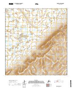
2020 · Kwiguk B-3 NW
USGS Topo · 1:25,000
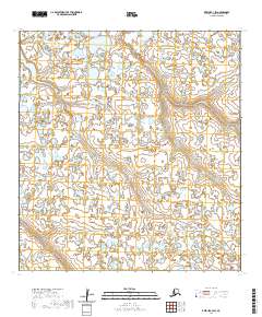
2020 · Kwiguk C-3 SW
USGS Topo · 1:25,000