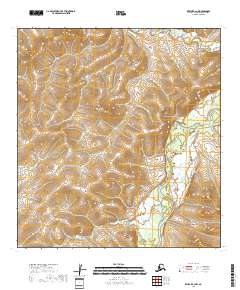
2018 Map of Kwiguk B-2 NW
USGS Topo · Published 2018About this map
The Andreafsky River winds through the eastern portion of this Kusilvak landscape, defining the local hydrology in a region characterized by intricate wetlands and drainage patterns. To the north, the headwaters of Allen Creek (also labeled as Allen Cr) feed into a complex network of seasonal water bodies. This 2018 survey reveals a terrain largely shaped by natural watercourses, with the river's path serving as the primary geographical anchor for the surrounding township and range boundaries. The lack of named roads or established settlements emphasizes the wilderness character of this area near the Bering Sea coast, where the landscape is governed by the ebb and flow of the river system.
Find a feature on this map
9 named features on this map. Tap any name to fly to it.
Don’t see what you’re looking for? This feature index may not catch every label — zoom into the map to look around manually.
Map Details
Editions of this 2018 Kwiguk B-2 NW Map
This is the sole edition of this map. No revisions or reprints were ever made.
Other maps of this area

1952 · Kwiguk
USGS Topo · 1:250,000

1952 · Kwiguk B-3
USGS Topo · 1:63,360

1952 · Kwiguk B-2
USGS Topo · 1:63,360

1952 · Kwiguk C-2
USGS Topo · 1:63,360

1952 · Kwiguk C-3
USGS Topo · 1:63,360
2018 · Kwiguk C-2 SE
USGS Topo · 1:25,000
2018 · Kwiguk B-2 SW
USGS Topo · 1:25,000
2018 · Kwiguk C-2 SW
USGS Topo · 1:25,000
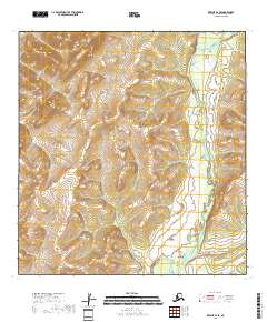
2018 · Kwiguk B-2 SE
USGS Topo · 1:25,000
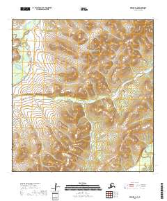
2018 · Kwiguk B-2 NE
USGS Topo · 1:25,000