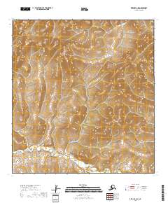
2018 Map of Kwiguk C-2 SW
USGS Topo · Published 2018About this map
Allen Creek winds through the southwestern reaches of the Kwiguk C-2 quadrangle, defining the primary drainage for this remote section of the Kusilvak Census Area. The landscape is characterized by a high density of wetlands and intricate hydrography, typical of the deltaic regions in western Alaska. Beyond the waterway, the map is structured by the Public Land Survey System, illustrating the boundaries of t29n r73w, t29n r72w, t28n r74w, and t28n r73w. These townships and ranges provide the essential spatial framework for land management and native corporation claims in an area largely devoid of permanent settlements or modern road infrastructure as of the early 21st century.
Find a feature on this map
5 named features on this map. Tap any name to fly to it.
Don’t see what you’re looking for? This feature index may not catch every label — zoom into the map to look around manually.
Map Details
Editions of this 2018 Kwiguk C-2 SW Map
This is the sole edition of this map. No revisions or reprints were ever made.
Other maps of this area

1952 · Kwiguk
USGS Topo · 1:250,000

1952 · Kwiguk B-3
USGS Topo · 1:63,360

1952 · Kwiguk B-2
USGS Topo · 1:63,360

1952 · Kwiguk C-2
USGS Topo · 1:63,360

1952 · Kwiguk C-3
USGS Topo · 1:63,360
2018 · Kwiguk C-2 SE
USGS Topo · 1:25,000
2018 · Kwiguk C-2 NE
USGS Topo · 1:25,000
2018 · Kwiguk C-2 NW
USGS Topo · 1:25,000
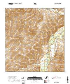
2018 · Kwiguk B-2 NW
USGS Topo · 1:25,000
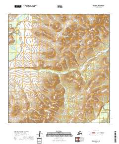
2018 · Kwiguk B-2 NE
USGS Topo · 1:25,000