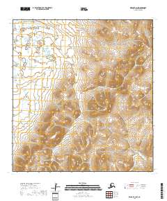
2018 Map of Kwiguk C-2 NW
USGS Topo · Published 2018About this map
The Pastolik River meanders through the western reaches of this coastal landscape, providing a vital waterway within the Nulato Hills region. This 2018 survey reveals a terrain defined by dramatic elevation changes, where the hills rise abruptly from the river valley. The map emphasizes the sparse, undeveloped nature of this corner of the Kusilvak Census Area, focusing on the natural topography and the intricate drainage patterns of the Pastolik River system. For those interested in the remote physical geography of western Alaska, the contours here illustrate the transition from lowland riparian environments to the uplands of the Nulato Hills.
Find a feature on this map
8 named features on this map. Tap any name to fly to it.
Don’t see what you’re looking for? This feature index may not catch every label — zoom into the map to look around manually.
Map Details
Editions of this 2018 Kwiguk C-2 NW Map
This is the sole edition of this map. No revisions or reprints were ever made.
Other maps of this area

1952 · Kwiguk
USGS Topo · 1:250,000

1952 · Kwiguk C-2
USGS Topo · 1:63,360

1952 · Kwiguk D-2
USGS Topo · 1:63,360

1952 · Kwiguk D-3
USGS Topo · 1:63,360

1952 · Kwiguk C-3
USGS Topo · 1:63,360
2018 · Kwiguk C-2 SE
USGS Topo · 1:25,000
2018 · Kwiguk C-2 NE
USGS Topo · 1:25,000
2018 · Kwiguk C-2 SW
USGS Topo · 1:25,000
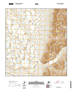
2018 · Kwiguk D-2 SW
USGS Topo · 1:25,000
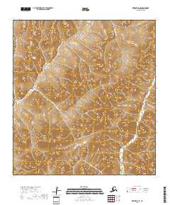
2018 · Kwiguk D-2 SE
USGS Topo · 1:25,000