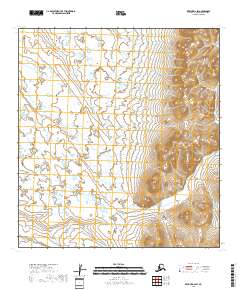
2018 Map of Kwiguk D-2 SW
USGS Topo · Published 2018About this map
Pastoliak River meanders through this remote portion of the Kusilvak coastal region, carving a path through an intricate network of wetlands. The landscape is defined by the transition from low-lying coastal marshes in the west to the significant topographical rise of the interior hills in the east. The terrain remains largely undeveloped, showcasing the raw hydrologic patterns of the Alaskan tundra as documented in this 2018 survey. This map provides a detailed view of the township and range boundaries, specifically within t31n r72w and t32n r73w, which are essential for property and resource mapping in this isolated area. The contrast between the saturated river flats and the steep elevation contours to the east illustrates the complex physical geography of the Yukon Delta region.
Find a feature on this map
5 named features on this map. Tap any name to fly to it.
Don’t see what you’re looking for? This feature index may not catch every label — zoom into the map to look around manually.
Map Details
Editions of this 2018 Kwiguk D-2 SW Map
This is the sole edition of this map. No revisions or reprints were ever made.
Other maps of this area

1952 · Kwiguk
USGS Topo · 1:250,000

1952 · Kwiguk C-2
USGS Topo · 1:63,360

1952 · Kwiguk D-2
USGS Topo · 1:63,360

1952 · Kwiguk D-3
USGS Topo · 1:63,360

1952 · Kwiguk C-3
USGS Topo · 1:63,360
2018 · Kwiguk C-2 NE
USGS Topo · 1:25,000
2018 · Kwiguk C-2 NW
USGS Topo · 1:25,000
2018 · Kwiguk D-2 NE
USGS Topo · 1:25,000
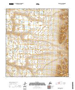
2018 · Kwiguk D-2 NW
USGS Topo · 1:25,000
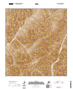
2018 · Kwiguk D-2 SE
USGS Topo · 1:25,000