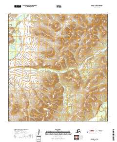
2018 Map of Kwiguk B-2 NE
USGS Topo · Published 2018About this map
Andreafsky River and its major tributaries dominate this landscape within the Kusilvak Census Area. The water systems here, including the East Fork Andreafsky River and the northern reach of Allen Creek, form a complex drainage pattern across a vast wetland and tundra environment. The terrain is characterized by winding riverbeds and numerous small ponds, illustrating the shifting hydrology of the Yukon-Kuskokwim Delta region. Mapping by the U.S. Department of the Interior reveals a territory largely devoid of permanent human structures or roads, defined instead by the natural movement of water across the North American Vertical Datum of 1988.
Find a feature on this map
12 named features on this map. Tap any name to fly to it.
Don’t see what you’re looking for? This feature index may not catch every label — zoom into the map to look around manually.
Map Details
Editions of this 2018 Kwiguk B-2 NE Map
This is the sole edition of this map. No revisions or reprints were ever made.
Other maps of this area

1952 · Kwiguk
USGS Topo · 1:250,000

1952 · Kwiguk B-2
USGS Topo · 1:63,360

1952 · Kwiguk C-2
USGS Topo · 1:63,360

1952 · Kwiguk B-1
USGS Topo · 1:63,360

1952 · Kwiguk C-1
USGS Topo · 1:63,360
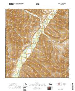
2018 · Kwiguk C-2 SE
USGS Topo · 1:25,000
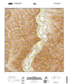
2018 · Kwiguk B-2 SW
USGS Topo · 1:25,000
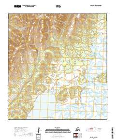
2018 · Kwiguk B-1 SW
USGS Topo · 1:25,000
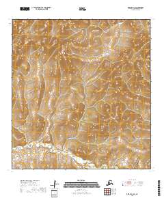
2018 · Kwiguk C-2 SW
USGS Topo · 1:25,000
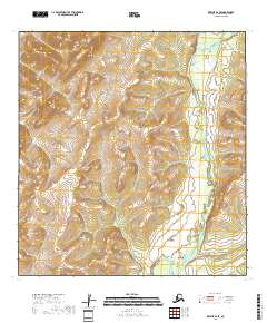
2018 · Kwiguk B-2 SE
USGS Topo · 1:25,000