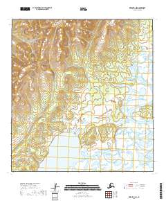
2018 Map of Kwiguk B-1 SW
USGS Topo · Published 2018About this map
Nulato Hills dominate the western portion of this landscape, rising above the low-lying wetlands of the Atchuelinguk River valley. This 2018 survey reveals the intricate transition from the elevated terrain of the hills to the saturated river basin below. The hydrology of the region is defined by the winding course of the river as it flows through the southern and eastern quadrants, creating a complex network of marshes and water bodies typical of the Alaska wilderness. The map illustrates the topographic contrast between the upland ridges and the aquatic environment, providing a clear picture of the natural boundaries that shape the interior of the Kusilvak Census Area.
Find a feature on this map
6 named features on this map. Tap any name to fly to it.
Don’t see what you’re looking for? This feature index may not catch every label — zoom into the map to look around manually.
Map Details
Editions of this 2018 Kwiguk B-1 SW Map
This is the sole edition of this map. No revisions or reprints were ever made.
Other maps of this area

1952 · Kwiguk
USGS Topo · 1:250,000

1952 · Kwiguk B-2
USGS Topo · 1:63,360

1952 · Kwiguk A-2
USGS Topo · 1:63,360

1952 · Kwiguk A-1
USGS Topo · 1:63,360

1952 · Kwiguk B-1
USGS Topo · 1:63,360
2018 · Kwiguk A-1 NE
USGS Topo · 1:25,000
2018 · Kwiguk B-1 NE
USGS Topo · 1:25,000
2018 · Kwiguk A-1 NW
USGS Topo · 1:25,000
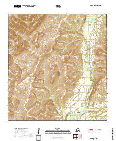
2018 · Kwiguk B-2 SE
USGS Topo · 1:25,000
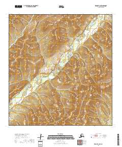
2018 · Kwiguk B-1 NW
USGS Topo · 1:25,000