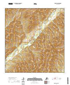
2018 Map of Kwiguk B-1 NW
USGS Topo · Published 2018About this map
The East Fork Andreafsky River winds through this expanse of the Kusilvak Census Area, defining the primary drainage for the surrounding terrain. This 2018 topographic survey, produced by the U.S. Geological Survey, illustrates a landscape dominated by complex elevation contours and extensive wetlands. The river's path is the central geographic feature, flowing through a series of townships including t27n r71w and t28n r70w. Because this region is largely devoid of named settlements or infrastructure, the map serves as a primary record of the natural hydrography and land partitions managed by the Bureau of Land Management. Researchers and surveyors can trace the precise meandering of the water against the backdrop of the North American Datum of 1983.
Find a feature on this map
7 named features on this map. Tap any name to fly to it.
Don’t see what you’re looking for? This feature index may not catch every label — zoom into the map to look around manually.
Map Details
Editions of this 2018 Kwiguk B-1 NW Map
This is the sole edition of this map. No revisions or reprints were ever made.
Other maps of this area

1952 · Kwiguk
USGS Topo · 1:250,000

1952 · Kwiguk B-2
USGS Topo · 1:63,360

1952 · Kwiguk C-2
USGS Topo · 1:63,360

1952 · Kwiguk B-1
USGS Topo · 1:63,360

1952 · Kwiguk C-1
USGS Topo · 1:63,360
2018 · Kwiguk C-2 SE
USGS Topo · 1:25,000
2018 · Kwiguk C-1 SE
USGS Topo · 1:25,000
2018 · Kwiguk B-1 NE
USGS Topo · 1:25,000
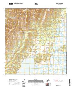
2018 · Kwiguk B-1 SW
USGS Topo · 1:25,000
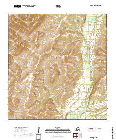
2018 · Kwiguk B-2 SE
USGS Topo · 1:25,000