
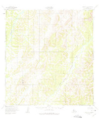
1952 Map of Kwiguk C-1
USGS Topo · Published 1959About this map
The Andreafsky River and its major tributary system dominate this subarctic landscape in the early 1950s. Flowing through the western portion of the quadrangle, the main river branch is joined by the winding East Fork Andreafsky River as it cuts through the high ground. The terrain is defined by dramatic elevation changes, most notably at North Peak, which serves as a primary landmark in this wilderness region. This map was compiled from aerial photography taken in 1951, providing a detailed record of the drainage patterns and topography before significant modern changes. The absence of roads or permanent structures reflects the era's reliance on river corridors for navigation and subsistence within the Second Judicial Division.
Find a feature on this map
3 named features on this map. Tap any name to fly to it.
Don’t see what you’re looking for? This feature index may not catch every label — zoom into the map to look around manually.
Map Details
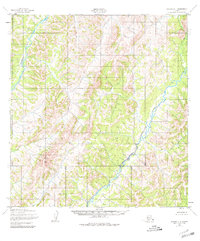
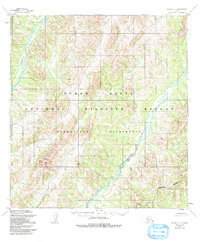
Editions of this 1952 Kwiguk C-1 Map
4 editions found
Other maps of this area

1951 · Holy Cross
USGS Topo · 1:250,000

1952 · Kwiguk
USGS Topo · 1:250,000

1952 · Kwiguk D-1
USGS Topo · 1:63,360

1952 · Kwiguk B-2
USGS Topo · 1:63,360

1952 · Kwiguk C-2
USGS Topo · 1:63,360

1952 · Kwiguk D-2
USGS Topo · 1:63,360

1952 · Holy Cross C-6
USGS Topo · 1:63,360

1952 · Holy Cross B-6
USGS Topo · 1:63,360

1952 · Kwiguk B-1
USGS Topo · 1:63,360
1952 · Holy Cross D-6
USGS Topo · 1:63,360