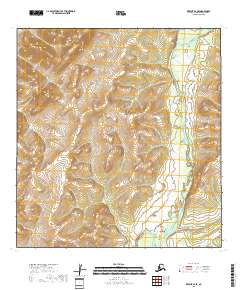
2018 Map of Kwiguk B-2 SE
USGS Topo · Published 2018About this map
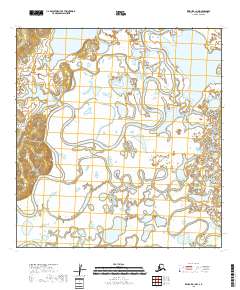
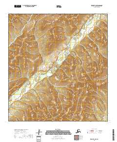
Nulato Hills topography defines this landscape in the Kusilvak Census Area, where elevation contours reveal the complex drainages and ridges of the Alaskan interior. The most prominent hydrological feature is the East Fork Andreafsky River, which meanders through a broad valley floor characterized by extensive wetlands. This 2018 survey captures the natural state of the wilderness within the Yukon Delta region, showing no roads or permanent settlements within these specific township boundaries. The map provides a detailed view of the river's path as it flows southward, including the numerous smaller tributaries and seasonal water bodies that define the riparian ecosystem between the higher elevations of the hills.
Find a feature on this map
8 named features on this map. Tap any name to fly to it.
Don’t see what you’re looking for? This feature index may not catch every label — zoom into the map to look around manually.
Map Details
Editions of this 2018 Kwiguk B-2 SE Map
This is the sole edition of this map. No revisions or reprints were ever made.
Other maps of this area

1952 · Kwiguk
USGS Topo · 1:250,000

1952 · Kwiguk B-2
USGS Topo · 1:63,360

1952 · Kwiguk A-2
USGS Topo · 1:63,360

1952 · Kwiguk A-1
USGS Topo · 1:63,360

1952 · Kwiguk B-1
USGS Topo · 1:63,360
2018 · Kwiguk B-2 SW
USGS Topo · 1:25,000
2018 · Kwiguk B-1 SW
USGS Topo · 1:25,000
2018 · Kwiguk A-2 NW
USGS Topo · 1:25,000
2018 · Kwiguk A-1 NW
USGS Topo · 1:25,000
2018 · Kwiguk B-1 NW
USGS Topo · 1:25,000