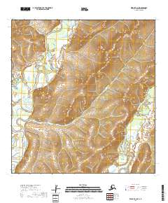
2018 Map of Kwiguk A-2 NW
USGS Topo · Published 2018About this map
Andreafsky River and its eastern tributary, the East Fork Andreafsky River, dominate this wilderness landscape within the Kusilvak Census Area. The terrain transitions from the low-lying wetlands and complex river braids of the Yukon-Kuskokwim Delta into the rising elevations of the Nulato Hills in the northeast. This 2018 survey illustrates a region defined by its hydrography rather than human settlement, where the shifting river channels and seasonal drainages create a complex network of waterways. The absence of roads or established townships highlights the isolation of this portion of Alaska, where the primary geographic landmarks are the rivers and the western foothills of the Nulato range.
Find a feature on this map
7 named features on this map. Tap any name to fly to it.
Don’t see what you’re looking for? This feature index may not catch every label — zoom into the map to look around manually.
Map Details
Editions of this 2018 Kwiguk A-2 NW Map
This is the sole edition of this map. No revisions or reprints were ever made.
Other maps of this area

1952 · Kwiguk
USGS Topo · 1:250,000

1952 · Kwiguk B-3
USGS Topo · 1:63,360

1952 · Kwiguk B-2
USGS Topo · 1:63,360

1952 · Kwiguk A-2
USGS Topo · 1:63,360

1952 · Kwiguk A-3
USGS Topo · 1:63,360
2018 · Kwiguk B-2 SW
USGS Topo · 1:25,000
2018 · Kwiguk B-2 SE
USGS Topo · 1:25,000
2018 · Kwiguk A-2 NE
USGS Topo · 1:25,000
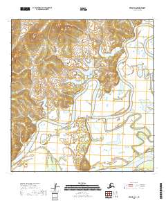
2018 · Kwiguk A-2 SE
USGS Topo · 1:25,000
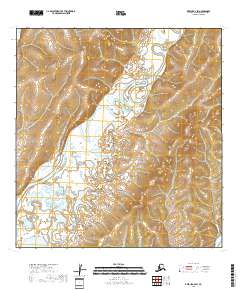
2018 · Kwiguk A-2 SW
USGS Topo · 1:25,000